ملف:Mangataremjf7745 02.JPG

حجم هذه المعاينة: 800 × 600 بكسل. البعدان الآخران: 2٬560 × 1٬920 بكسل | 4٬608 × 3٬456 بكسل.
الملف الأصلي (4٬608 × 3٬456 بكسل حجم الملف: 6٫84 ميجابايت، نوع MIME: image/jpeg)
وصف قصير
| ⧼wm-license-information-description⧽ |
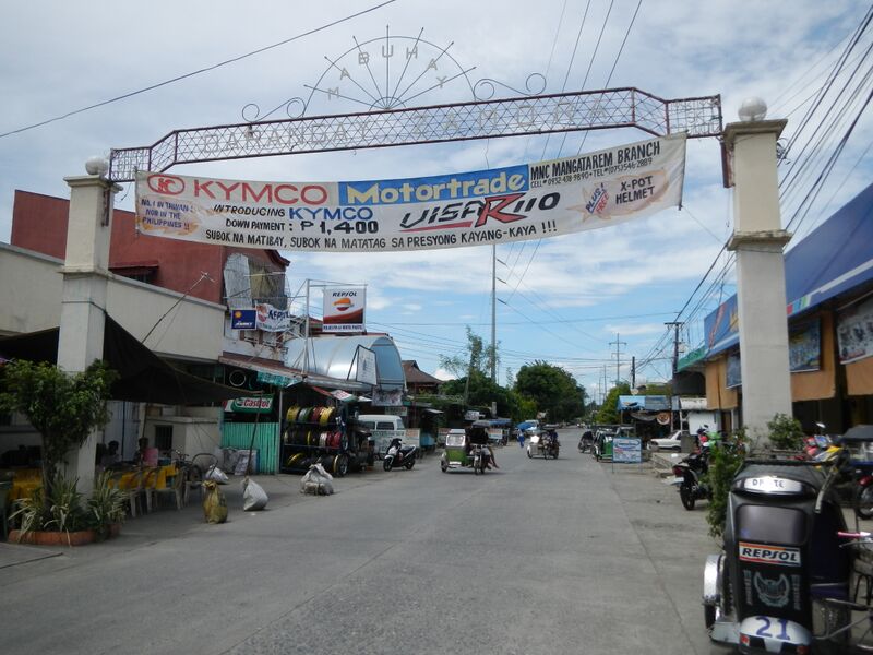
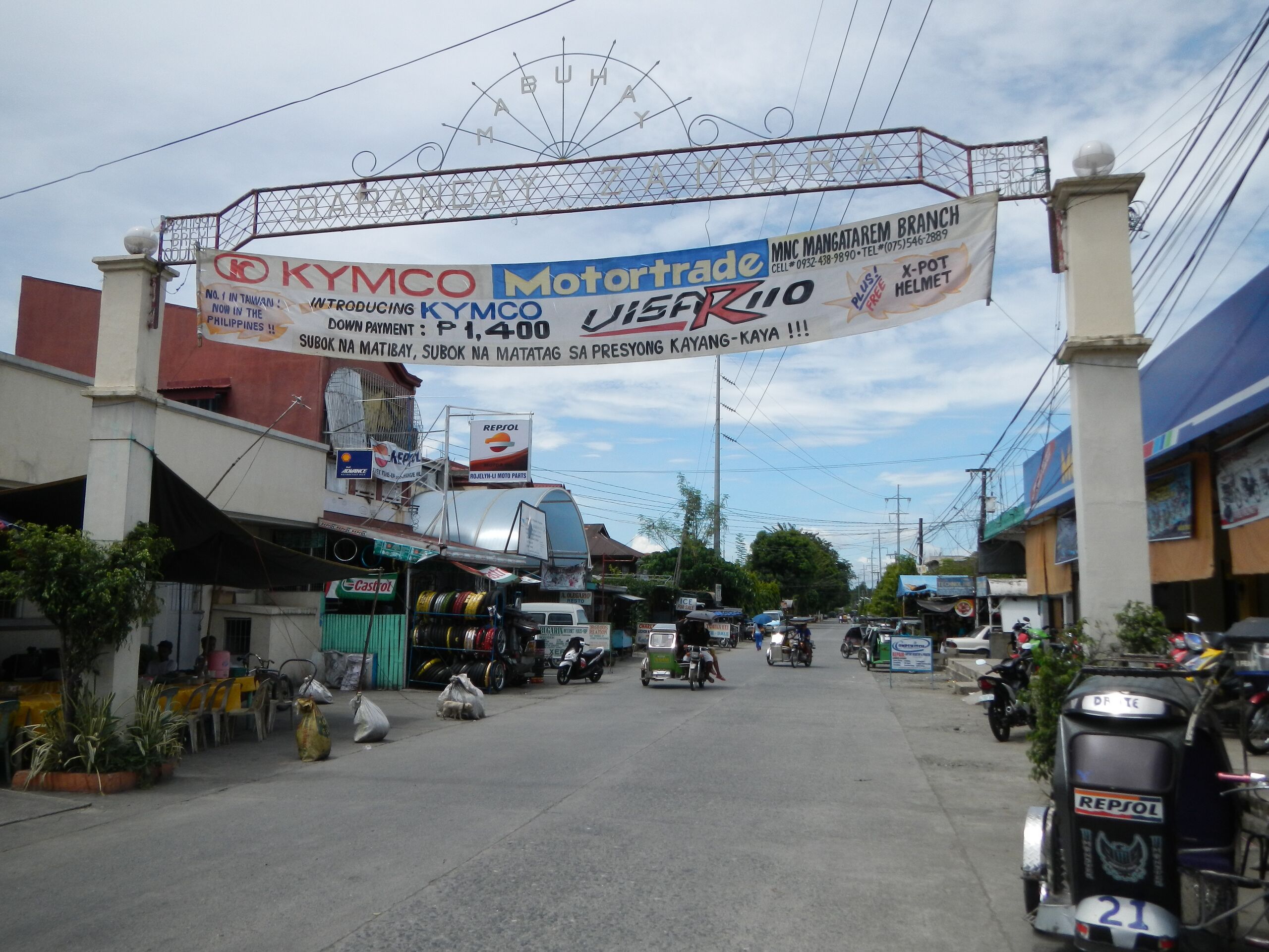
English: UploadWizard photos of Poblacion Area [1] Poblacion area (composed of different barangays): Barangay Zamora, Barangay Mabini, Barangay Caoile-Olegario, etc. Coordinates: 15°47'15"N 120°17'29"E -- (F-1835) Saint Raymond of Peñafort Parish Church of Mangatarem [2] Coordinates: 15°47'18"N 120°17'40"E Mangatarem, Pangasinan[3] [4] [5] belongs to the [6] Roman Catholic Diocese of Alaminos[7] Website [8] Rev. Fr. Ulysses C. Cacho Oeconomus/Moderator Team Ministry 2413 Mangatarem, Pangasinan Raymond of Penyafort Raymond of Peñafort, O.P.,[9] -- In 1827 it was established a “visita” of San Carlos, in 1835, it was separated as an independent town from San Carlos.[10] [11] Titular: St. Raymond of Peñafort, January 7 History of the Church Population: 60,943 (2000 census) Titular: St. Raymond of Peñafort, January 7 Parish Priest: Fr. Windell David G. de Vera Parochial Vicar: Fr. Jonas Centeno Rev. Alexander del Castillo[12] - Mangatarem, Pangasinan[13] (a first class and largest municipality (in terms of land area) in the province of Pangasinan[14], Philippines with 2010 census population of 69,969 people Land Area: 317.50 km² ZIP Code: 2413.[15] [16] Coordinates: 15°44'20"N 120°16'57"E)
|
| ⧼wm-license-information-date⧽ | 2013, {{time}} – invalid date format 57 (help) |
| ⧼wm-license-information-source⧽ | ⧼Wm-license-own-work⧽ |
| ⧼wm-license-information-author⧽ | Ramon FVelasquez |
ترخيص
|
تاريخ الملف
اضغط على زمن/تاريخ لرؤية الملف كما بدا في هذا الزمن.
| زمن/تاريخ | صورة مصغرة | الأبعاد | مستخدم | تعليق | |
|---|---|---|---|---|---|
| حالي | ★ مراجعة معتمدة 15:07، 18 أكتوبر 2023 | | 4٬608 × 3٬456 (6٫84 ميجابايت) | Pastakhov (نقاش | مساهمات) | Upload https://upload.wikimedia.org/wikipedia/commons/d/d0/Mangataremjf7745_02.JPG |
لا يمكنك استبدال هذا الملف.
وصلات
لا يوجد صفحات تصل لهذه الصورة.