ملف:Mae Sai hills, Northern Thailand.jpg
حجم هذه المعاينة: 800 × 533 بكسل. البعدان الآخران: 2٬560 × 1٬707 بكسل | 3٬072 × 2٬048 بكسل.
الملف الأصلي (3٬072 × 2٬048 بكسل حجم الملف: 3٫99 ميجابايت، نوع MIME: image/jpeg)
وصف قصير
| ⧼wm-license-information-description⧽ |
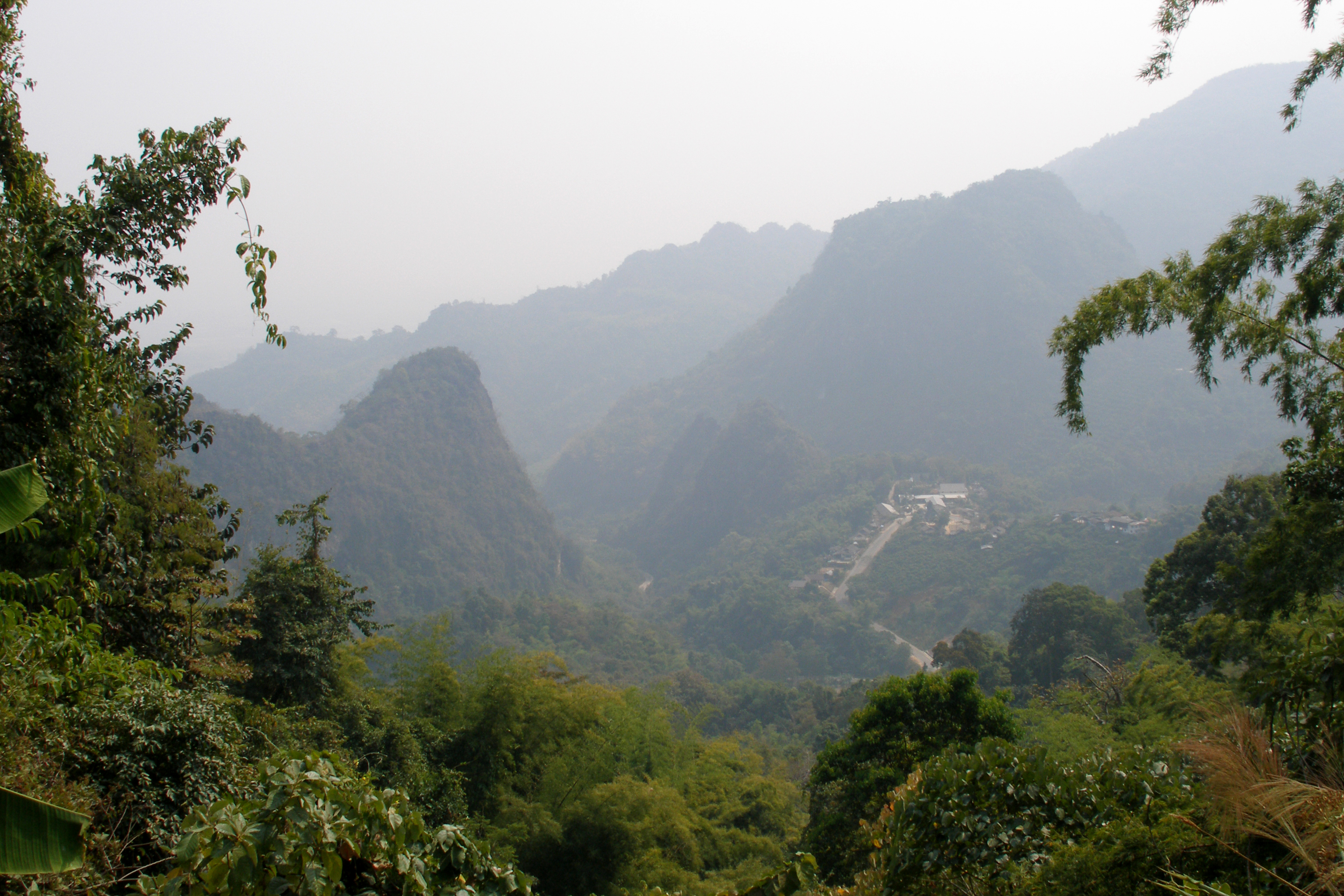
English: Hills around Mae Sai, Chiang Rai, Northern Thailand.
قالب:Country data Горы Мае Сай, Чианг Рай, северный Таиланд. |
| ⧼wm-license-information-date⧽ | 2007, {{time}} – invalid date format 43 (help) |
| ⧼wm-license-information-source⧽ | ⧼Wm-license-own-work⧽ |
| ⧼wm-license-information-author⧽ | Vyacheslav Argenberg |
20°25′16″N 99°51′41″E / 20.421228°N 99.861392°E
ترخيص
تاريخ الملف
اضغط على زمن/تاريخ لرؤية الملف كما بدا في هذا الزمن.
| زمن/تاريخ | صورة مصغرة | الأبعاد | مستخدم | تعليق | |
|---|---|---|---|---|---|
| حالي | ★ مراجعة معتمدة 19:12، 1 ديسمبر 2023 | | 3٬072 × 2٬048 (3٫99 ميجابايت) | Pastakhov (نقاش | مساهمات) | Upload https://upload.wikimedia.org/wikipedia/commons/e/e7/Mae_Sai_hills%2C_Northern_Thailand.jpg |
لا يمكنك استبدال هذا الملف.
وصلات
لا يوجد صفحات تصل لهذه الصورة.
معلومات الصورة (ميتا)
تصنيفات:
- Pages using gadget WikiMiniAtlas
- Self-published work
- Photos by Vyacheslav Argenberg
- Photos by Vyacheslav Argenberg in Thailand
- Photos by Vyacheslav Argenberg in 2007
- 2007 in Thailand
- Mae Sai District
- Chiang Rai Province
- Mountains of Thailand
- Karst topography in Thailand
- Protected areas of Thailand
- Uploaded via Campaign:wle-th