ملف:MEMap-location-of-Frenchville.png
لا توجد دقة أعلى متوفرة.
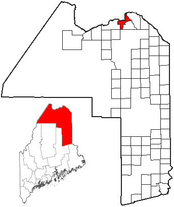
MEMap-location-of-Frenchville.png (344 × 410 بكسل حجم الملف: 16 كيلوبايت، نوع MIME: image/png)
وصف قصير
| ⧼wm-license-information-description⧽ |
Adapted from U.S. Census Bureau maps (American FactFinder) and Wikipedia's ME county maps by Bumm13 |
| ⧼wm-license-information-date⧽ | 2007 |
| ⧼wm-license-information-source⧽ | قالب:Transferred from |
| ⧼wm-license-information-author⧽ | قالب:Uap |
ترخيص
|

قالب:Original upload log
| زمن/تاريخ | الأبعاد | مستخدم | تعليق |
|---|---|---|---|
| 2007-11-25 16:37 | 344×410× (16123 bytes) | Bumm13 | Adapted from U.S. Census Bureau maps (American FactFinder) and Wikipedia's ME county maps by Bumm13. |
تاريخ الملف
اضغط على زمن/تاريخ لرؤية الملف كما بدا في هذا الزمن.
| زمن/تاريخ | صورة مصغرة | الأبعاد | مستخدم | تعليق | |
|---|---|---|---|---|---|
| حالي | ★ مراجعة معتمدة 14:14، 25 يناير 2024 | | 344 × 410 (16 كيلوبايت) | Pastakhov (نقاش | مساهمات) | Upload https://upload.wikimedia.org/wikipedia/commons/8/84/MEMap-location-of-Frenchville.png |
لا يمكنك استبدال هذا الملف.
وصلات
لا يوجد صفحات تصل لهذه الصورة.