ملف:Lowndes County border, Strickland Rd.jpg

حجم هذه المعاينة: 800 × 533 بكسل. البعدان الآخران: 2٬560 × 1٬707 بكسل | 5٬184 × 3٬456 بكسل.
الملف الأصلي (5٬184 × 3٬456 بكسل حجم الملف: 6٫77 ميجابايت، نوع MIME: image/jpeg)
وصف قصير
| ⧼wm-license-information-description⧽ |
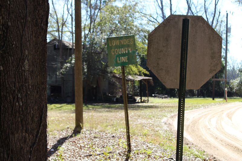
English: County border, Lanier/Lowndes County, Georgia
|
| ⧼wm-license-information-date⧽ | 2020, 5:18 am UTC+13:00 [refresh] |
| ⧼wm-license-information-source⧽ | ⧼Wm-license-own-work⧽ |
| ⧼wm-license-information-author⧽ | Michael Rivera |
31°00′59″N 83°10′50″W / 31.016462°N 83.180579°W
ترخيص
|
تاريخ الملف
اضغط على زمن/تاريخ لرؤية الملف كما بدا في هذا الزمن.
| زمن/تاريخ | صورة مصغرة | الأبعاد | مستخدم | تعليق | |
|---|---|---|---|---|---|
| حالي | ★ مراجعة معتمدة 10:43، 9 نوفمبر 2023 | | 5٬184 × 3٬456 (6٫77 ميجابايت) | Pastakhov (نقاش | مساهمات) | Upload https://upload.wikimedia.org/wikipedia/commons/9/9c/Lowndes_County_border%2C_Strickland_Rd.jpg |
لا يمكنك استبدال هذا الملف.
وصلات
لا يوجد صفحات تصل لهذه الصورة.
معلومات الصورة (ميتا)
تصنيفات:
- Self-published work
- County signs in Georgia (U.S. state)
- January 2020 in Georgia (U.S. state)
- Photographs taken on 2020-01-25
- Taken with Canon EOS 700D
- Road signs in Lanier County, Georgia
- Road signs in Lowndes County, Georgia
- Green and white rectangular road signs
- White on green road signs
- Georgia (U.S. state) photos by Mjrmtg
- Road signs in the United States photographed in 2020