ملف:London Road A226, Greenhithe - geograph.org.uk - 900314.jpg

حجم هذه المعاينة: 450 × 599 بكسل. البعد الآخر: 481 × 640 بكسل.
الملف الأصلي (481 × 640 بكسل حجم الملف: 92 كيلوبايت، نوع MIME: image/jpeg)
وصف قصير
| ⧼wm-license-information-description⧽ |
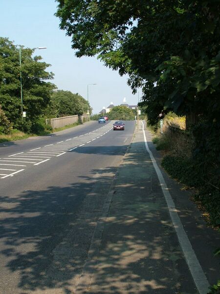
English: London Road A226, Greenhithe. A226 Heading from Dartford toward Gravesend this is the first sighting of Waterstone Park development 898686. Blending in with the rural feel an Oast House detail has been added to one of the blocks in Sandpiper Close.
|
| ⧼wm-license-information-date⧽ | 2008 |
| ⧼wm-license-information-source⧽ | From geograph.org.uk |
| ⧼wm-license-information-author⧽ | Ken Brown |
| ⧼wm-license-cc-attribution⧽ (قالب:I18n/Credit line) |
Ken Brown / London Road A226, Greenhithe / |
51°26′50″N 0°16′16″E / 51.44716°N 0.2712°E قالب:Object location
_heading:67)
ترخيص
تاريخ الملف
اضغط على زمن/تاريخ لرؤية الملف كما بدا في هذا الزمن.
| زمن/تاريخ | صورة مصغرة | الأبعاد | مستخدم | تعليق | |
|---|---|---|---|---|---|
| حالي | ★ مراجعة معتمدة 04:09، 2 نوفمبر 2023 | | 481 × 640 (92 كيلوبايت) | Pastakhov (نقاش | مساهمات) | Upload https://upload.wikimedia.org/wikipedia/commons/1/18/London_Road_A226%2C_Greenhithe_-_geograph.org.uk_-_900314.jpg |
لا يمكنك استبدال هذا الملف.
وصلات
لا يوجد صفحات تصل لهذه الصورة.