ملف:Locator map Durlach in Karlsruhe.svg

حجم معاينة PNG لذلك الملف ذي الامتداد SVG: 688 × 599 بكسل. البعد الآخر: 2٬351 × 2٬048 بكسل.
الملف الأصلي (ملف SVG، أبعاده 1٬000 × 871 بكسل، حجم الملف: 58 كيلوبايت)
وصف قصير
| ⧼wm-license-information-description⧽ |
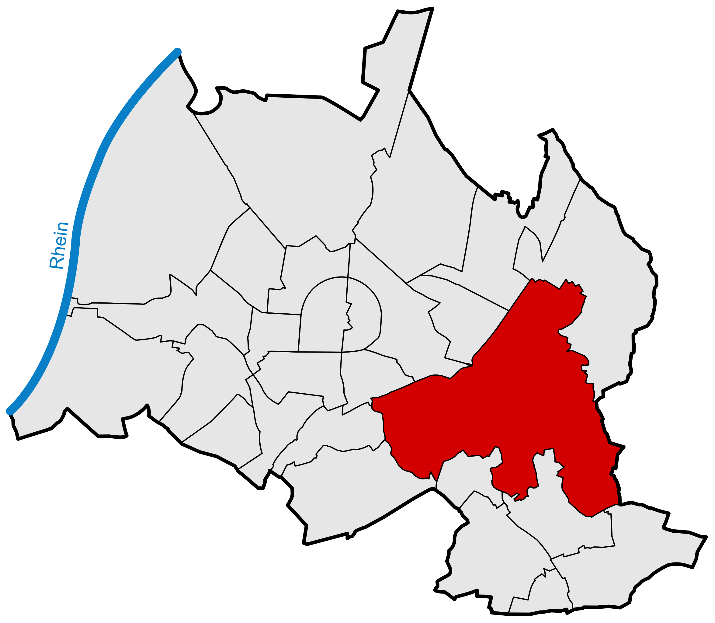
Deutsch: Lage des Stadtteils Durlach innerhalb des Stadtgebiets von Karlsruhe
|
| ⧼wm-license-information-date⧽ | 2009 |
| ⧼wm-license-information-source⧽ | ⧼Wm-license-own-work⧽ |
| ⧼wm-license-information-author⧽ | Steadfast |
ترخيص
|

تاريخ الملف
اضغط على زمن/تاريخ لرؤية الملف كما بدا في هذا الزمن.
| زمن/تاريخ | صورة مصغرة | الأبعاد | مستخدم | تعليق | |
|---|---|---|---|---|---|
| حالي | ★ مراجعة معتمدة 06:27، 5 ديسمبر 2023 | | 1٬000 × 871 (58 كيلوبايت) | Pastakhov (نقاش | مساهمات) | Upload https://upload.wikimedia.org/wikipedia/commons/6/69/Locator_map_Durlach_in_Karlsruhe.svg |
لا يمكنك استبدال هذا الملف.
وصلات
لا يوجد صفحات تصل لهذه الصورة.