ملف:Locator Silesia within the Holy Roman Empire (1618).svg

حجم معاينة PNG لذلك الملف ذي الامتداد SVG: 658 × 600 بكسل. البعد الآخر: 2٬247 × 2٬048 بكسل.
الملف الأصلي (ملف SVG، أبعاده 2٬769 × 2٬524 بكسل، حجم الملف: 1٬021 كيلوبايت)
وصف قصير
| ⧼wm-license-information-description⧽ |
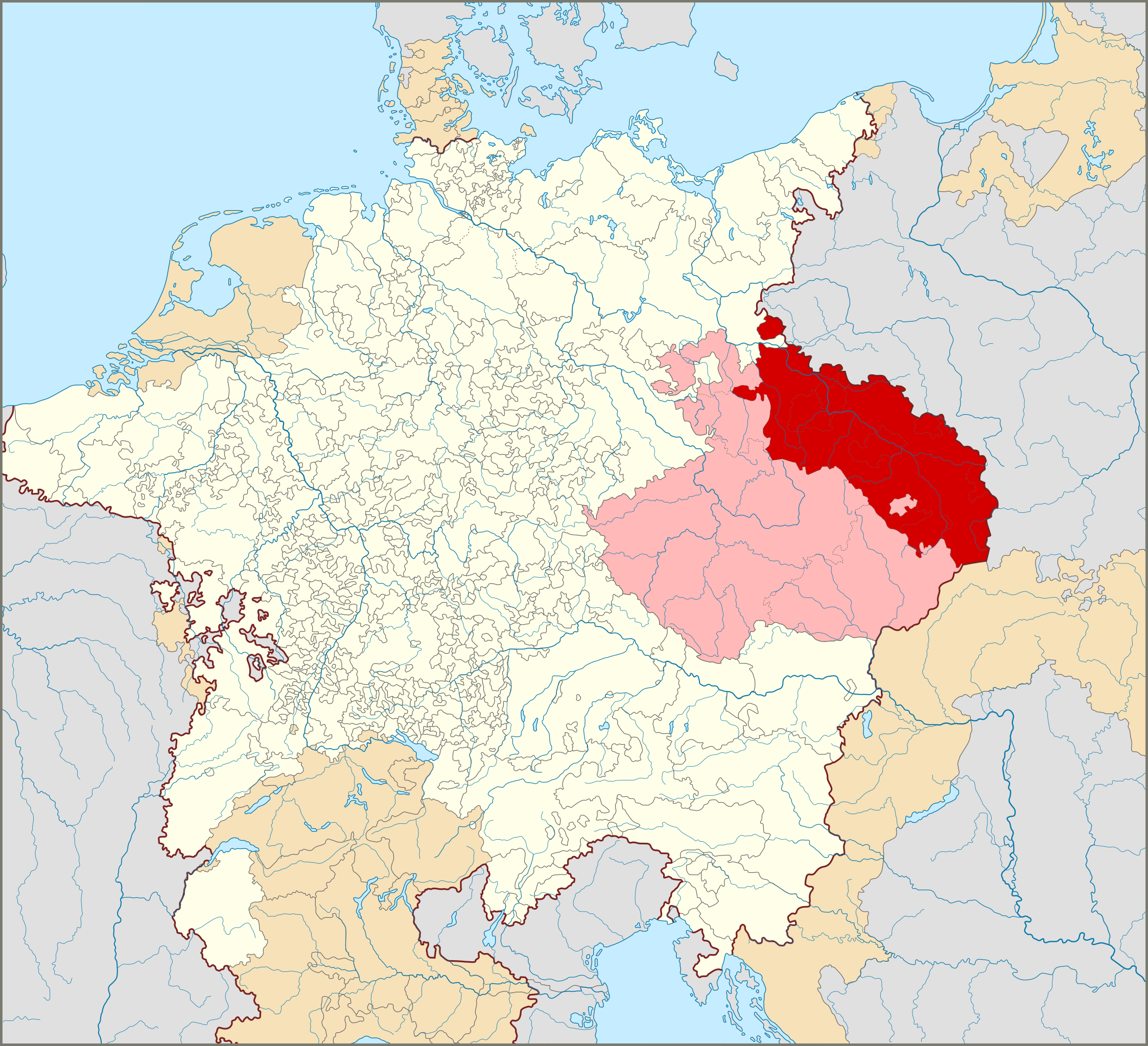
English: Locator Map of the Duchies of Silesia (proper) within the Holy Roman Empire (1618)
Territories of the Holy Roman Empire.
Territories connected with the Holy Roman Empire, including the Imperial Italy, the Swiss Confederacy, Barrois mouvant, Sedan, Lauenburg and Bütow, Ducal Prussia, the Duchy of Schleswig and the Dutch Republic.
Territories outside the Holy Roman Empire.
Deutsch: Die schlesischen Herzogtümer und ihre Lage im Heiligen Römischen Reich (1618)
(Dutch) |
| ⧼wm-license-information-date⧽ | 2015 |
| ⧼wm-license-information-source⧽ | ⧼Wm-license-own-work⧽ |
| ⧼wm-license-information-author⧽ | Sir Iain |
ترخيص
|
تاريخ الملف
اضغط على زمن/تاريخ لرؤية الملف كما بدا في هذا الزمن.
| زمن/تاريخ | صورة مصغرة | الأبعاد | مستخدم | تعليق | |
|---|---|---|---|---|---|
| حالي | ★ مراجعة معتمدة 23:30، 13 نوفمبر 2023 | | 2٬769 × 2٬524 (1٬021 كيلوبايت) | Pastakhov (نقاش | مساهمات) | Upload https://upload.wikimedia.org/wikipedia/commons/4/4e/Locator_Silesia_within_the_Holy_Roman_Empire_%281618%29.svg |
لا يمكنك استبدال هذا الملف.
وصلات
لا يوجد صفحات تصل لهذه الصورة.
.svg&oldid=3514952)