ملف:Kurdish inhabited areas.svg

حجم معاينة PNG لذلك الملف ذي الامتداد SVG: 550 × 550 بكسل. البعد الآخر: 2٬048 × 2٬048 بكسل.
الملف الأصلي (ملف SVG، أبعاده 550 × 550 بكسل، حجم الملف: 2٫8 ميجابايت)
وصف قصير
| ⧼wm-license-information-description⧽ |
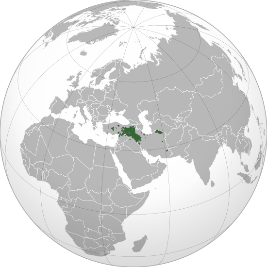
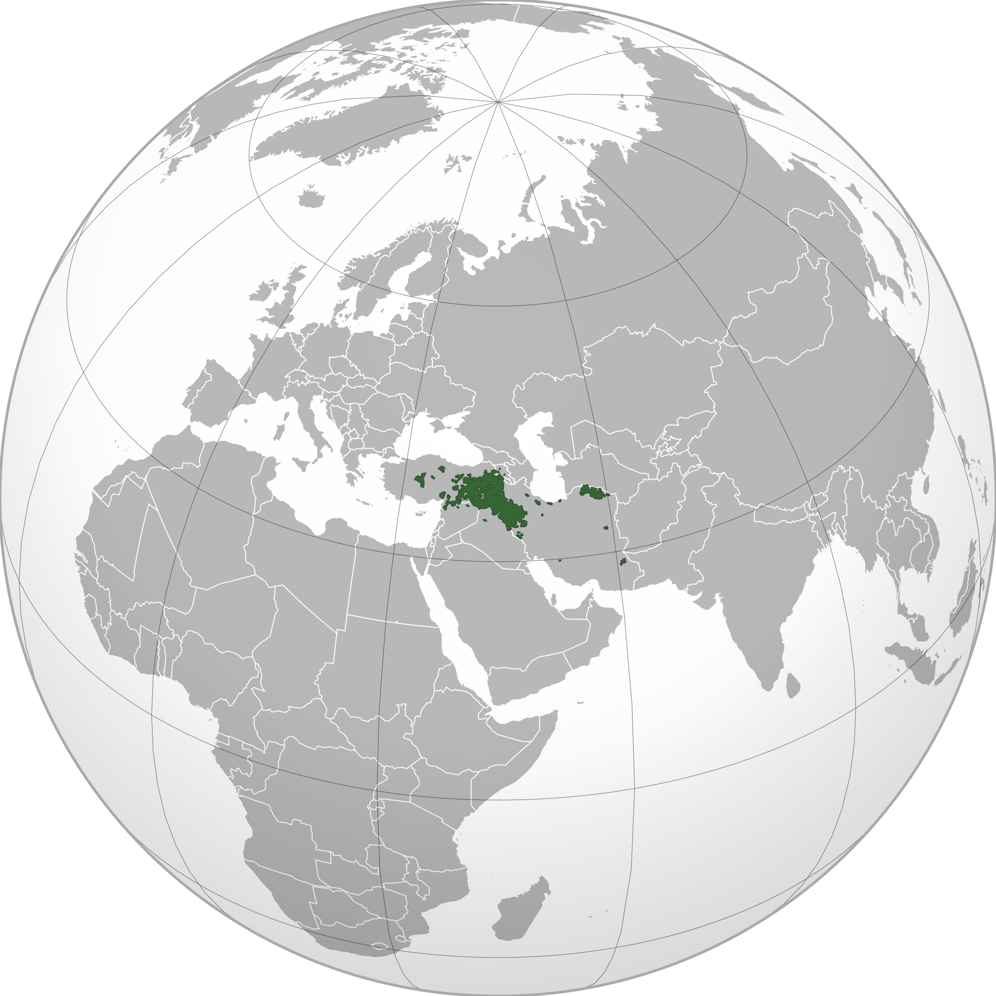
English: Kurdish inhabited areas
|
| ⧼wm-license-information-date⧽ | 2021 |
| ⧼wm-license-information-source⧽ | ⧼Wm-license-own-work⧽.
Geographical data (land and boundaries) from Natural Earth v. 5.10. Kurdish inhabited areas from Map 0.2 on page xxviii of The Cambridge History of the Kurds (Bozarslan, Gunes, & Yadirgi, 2021). |
| ⧼wm-license-information-author⧽ | Sette-quattro |
ترخيص
|
تاريخ الملف
اضغط على زمن/تاريخ لرؤية الملف كما بدا في هذا الزمن.
| زمن/تاريخ | صورة مصغرة | الأبعاد | مستخدم | تعليق | |
|---|---|---|---|---|---|
| حالي | ★ مراجعة معتمدة 22:12، 13 نوفمبر 2023 | | 550 × 550 (2٫8 ميجابايت) | Pastakhov (نقاش | مساهمات) | Upload https://upload.wikimedia.org/wikipedia/commons/0/07/Kurdish_inhabited_areas.svg |
لا يمكنك استبدال هذا الملف.
وصلات
لا يوجد صفحات تصل لهذه الصورة.