ملف:Krabbenkreek-Zeeland-2020-Luka-Peternel.jpg
حجم هذه المعاينة: 718 × 599 بكسل. البعدان الآخران: 2٬454 × 2٬048 بكسل | 4٬371 × 3٬648 بكسل.
الملف الأصلي (4٬371 × 3٬648 بكسل حجم الملف: 4٫29 ميجابايت، نوع MIME: image/jpeg)
وصف قصير
| ⧼wm-license-information-description⧽ |
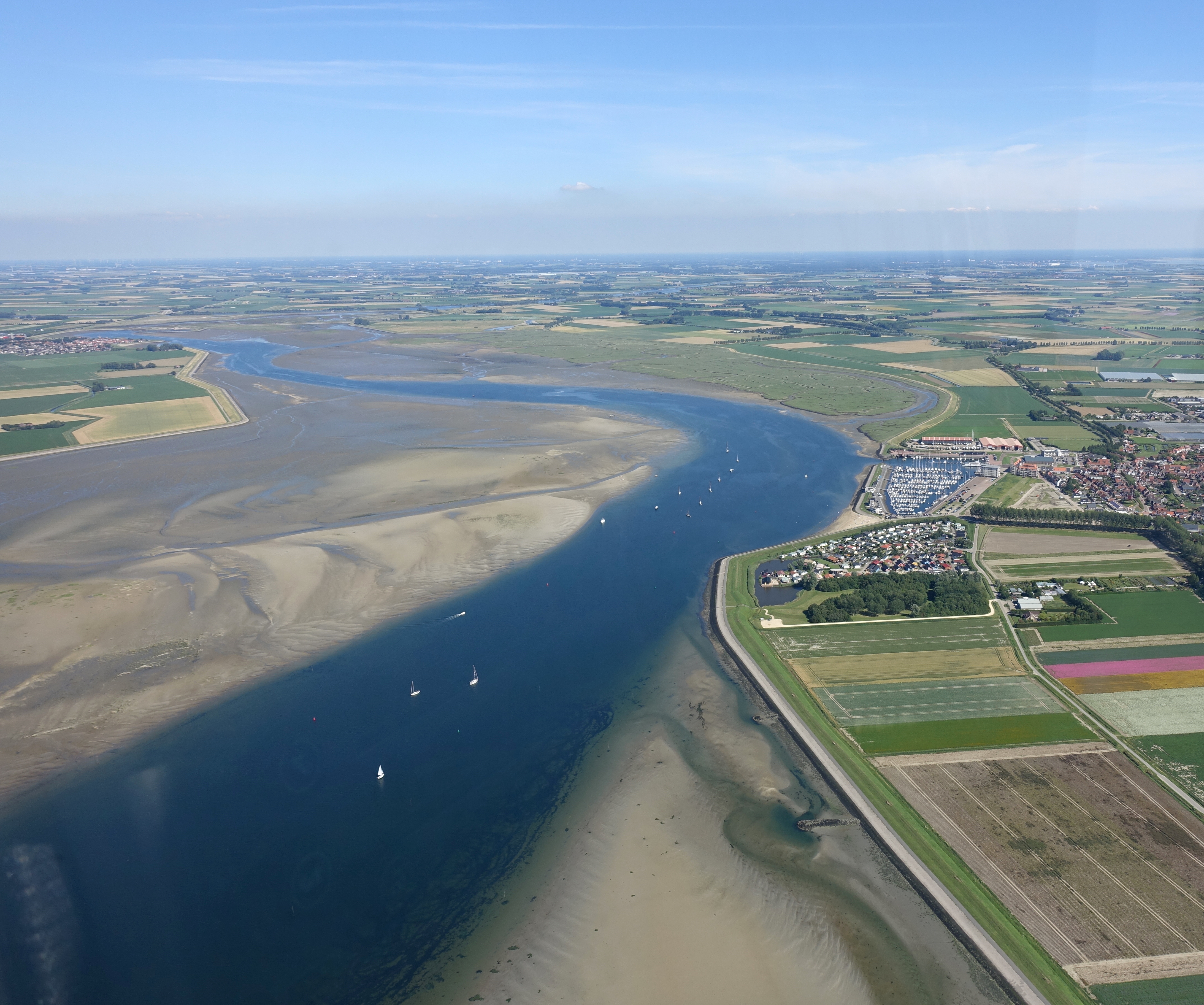
English: Aerial view of Krabbenkreek in Zeeland. The view is facing east. The town of Sint-Annaland is visible in the right of the photo, while the town of Sint Philipsland is in the top-left.
(Dutch) |
| ⧼wm-license-information-date⧽ | 2020-07-13 15:03:39 UTC |
| ⧼wm-license-information-source⧽ | ⧼Wm-license-own-work⧽ |
| ⧼wm-license-information-author⧽ | Luka Peternel |
ترخيص
|
تاريخ الملف
اضغط على زمن/تاريخ لرؤية الملف كما بدا في هذا الزمن.
| زمن/تاريخ | صورة مصغرة | الأبعاد | مستخدم | تعليق | |
|---|---|---|---|---|---|
| حالي | ★ مراجعة معتمدة 05:50، 9 نوفمبر 2023 | | 4٬371 × 3٬648 (4٫29 ميجابايت) | Pastakhov (نقاش | مساهمات) | Upload https://upload.wikimedia.org/wikipedia/commons/d/d7/Krabbenkreek-Zeeland-2020-Luka-Peternel.jpg |
لا يمكنك استبدال هذا الملف.
وصلات
لا يوجد صفحات تصل لهذه الصورة.