ملف:Keya Paha River from above Lewis Bridge 2.JPG
حجم هذه المعاينة: 800 × 541 بكسل. البعد الآخر: 2٬482 × 1٬677 بكسل.
الملف الأصلي (2٬482 × 1٬677 بكسل حجم الملف: 1٫82 ميجابايت، نوع MIME: image/jpeg)
وصف قصير
| ⧼wm-license-information-description⧽ |
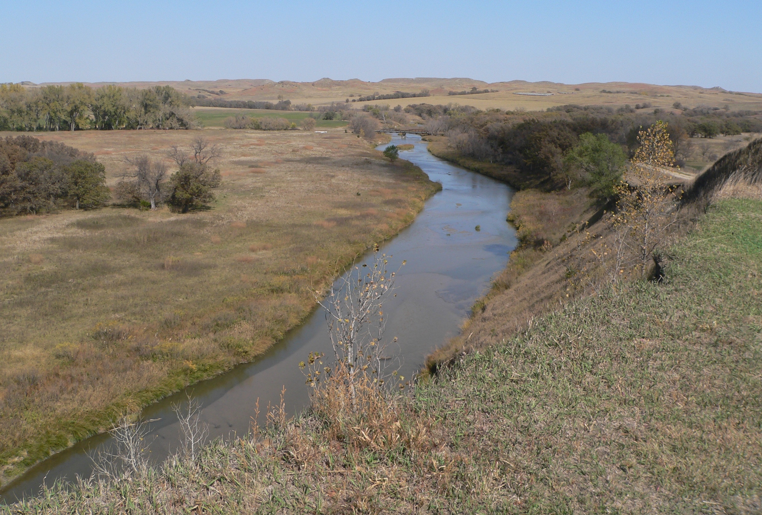
English: Keya Paha River, seen looking downstream from above the Lewis Bridge, located near the state line separating Keya Paha County, Nebraska from Tripp County, South Dakota. At the bridge, the river runs roughly from southwest to northeast.
|
| ⧼wm-license-information-date⧽ | 2010 |
| ⧼wm-license-information-source⧽ | ⧼Wm-license-own-work⧽ |
| ⧼wm-license-information-author⧽ | Ammodramus |
42°59′39″N 99°38′21″W / 42.99417°N 99.63917°W
ترخيص
تاريخ الملف
اضغط على زمن/تاريخ لرؤية الملف كما بدا في هذا الزمن.
| زمن/تاريخ | صورة مصغرة | الأبعاد | مستخدم | تعليق | |
|---|---|---|---|---|---|
| حالي | ★ مراجعة معتمدة 00:26، 9 ديسمبر 2023 | | 2٬482 × 1٬677 (1٫82 ميجابايت) | Pastakhov (نقاش | مساهمات) | Upload https://upload.wikimedia.org/wikipedia/commons/f/f3/Keya_Paha_River_from_above_Lewis_Bridge_2.JPG |
لا يمكنك استبدال هذا الملف.
وصلات
لا يوجد صفحات تصل لهذه الصورة.