ملف:Kennet and Avon Canal at the Dundas Arms, Kintbury - geograph.org.uk - 6270.jpg
لا توجد دقة أعلى متوفرة.
Kennet_and_Avon_Canal_at_the_Dundas_Arms,_Kintbury_-_geograph.org.uk_-_6270.jpg (640 × 480 بكسل حجم الملف: 413 كيلوبايت، نوع MIME: image/jpeg)
وصف قصير
| ⧼wm-license-information-description⧽ |
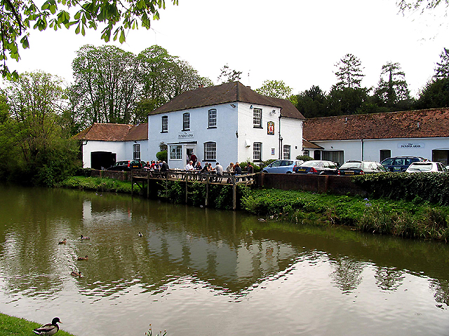
English: Kennet and Avon Canal at the Dundas Arms: Kintbury. The pub situated on the south bank of the canal is situated in the southern half of the grid square. This picture was taken from the road bridge looking more or less east.
|
| ⧼wm-license-information-date⧽ | 2005 |
| ⧼wm-license-information-source⧽ | From geograph.org.uk |
| ⧼wm-license-information-author⧽ | Pam Brophy |
| ⧼wm-license-cc-attribution⧽ (قالب:I18n/Credit line) |
Pam Brophy / Kennet and Avon Canal at the Dundas Arms: Kintbury / |
51°24′08″N 1°26′47″W / 51.40230°N 1.4464°W قالب:Object location
_heading:135)
ترخيص
تاريخ الملف
اضغط على زمن/تاريخ لرؤية الملف كما بدا في هذا الزمن.
| زمن/تاريخ | صورة مصغرة | الأبعاد | مستخدم | تعليق | |
|---|---|---|---|---|---|
| حالي | ★ مراجعة معتمدة 14:46، 7 أكتوبر 2023 | | 640 × 480 (413 كيلوبايت) | Pastakhov (نقاش | مساهمات) | Upload https://upload.wikimedia.org/wikipedia/commons/f/f1/Kennet_and_Avon_Canal_at_the_Dundas_Arms%2C_Kintbury_-_geograph.org.uk_-_6270.jpg |
لا يمكنك استبدال هذا الملف.
وصلات
لا يوجد صفحات تصل لهذه الصورة.