ملف:Kennelbach Dorfzentrum Schrägluftbild.jpg
حجم هذه المعاينة: 800 × 506 بكسل. البعدان الآخران: 2٬560 × 1٬620 بكسل | 5٬000 × 3٬165 بكسل.
الملف الأصلي (5٬000 × 3٬165 بكسل حجم الملف: 16٫78 ميجابايت، نوع MIME: image/jpeg)
وصف قصير
| ⧼wm-license-information-description⧽ |
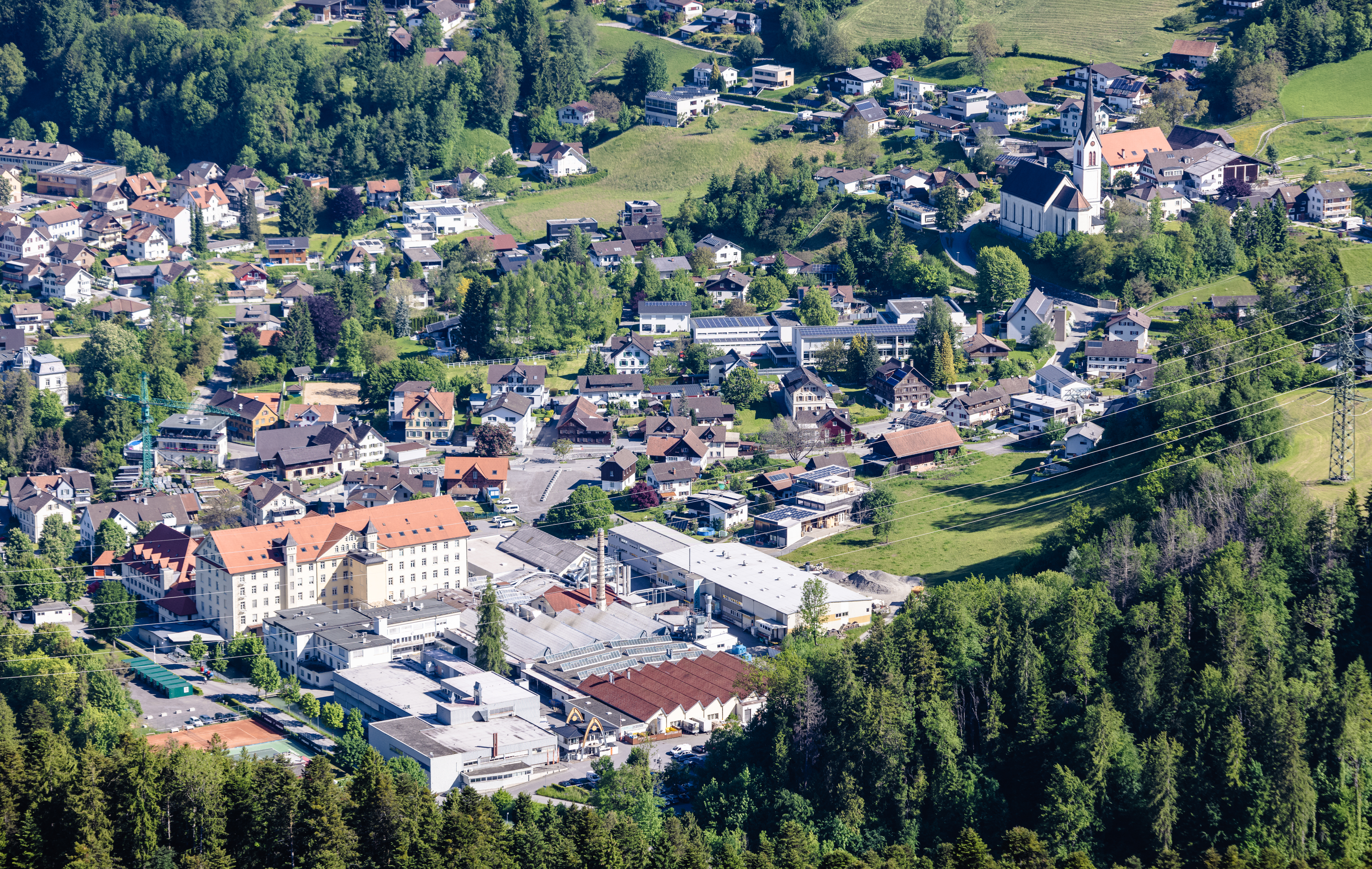
Deutsch: Luftbild vom Dorfzentrum von Kennelbach mit "Schindler Areal" im Vordergrund und der Pfarrkirche im Hintergrund.
|
| ⧼wm-license-information-date⧽ | 2021, {{time}} – invalid date format 30 (help) |
| ⧼wm-license-information-source⧽ | ⧼Wm-license-own-work⧽ |
| ⧼wm-license-information-author⧽ | Herbert Heim |
47°28′01″N 9°46′05″E / 47.46685°N 9.768168°E
ترخيص
|
تاريخ الملف
اضغط على زمن/تاريخ لرؤية الملف كما بدا في هذا الزمن.
| زمن/تاريخ | صورة مصغرة | الأبعاد | مستخدم | تعليق | |
|---|---|---|---|---|---|
| حالي | ★ مراجعة معتمدة 05:26، 12 نوفمبر 2023 | | 5٬000 × 3٬165 (16٫78 ميجابايت) | Pastakhov (نقاش | مساهمات) | Upload https://upload.wikimedia.org/wikipedia/commons/2/28/Kennelbach_Dorfzentrum_Schr%C3%A4gluftbild.jpg |
لا يمكنك استبدال هذا الملف.
وصلات
لا يوجد صفحات تصل لهذه الصورة.