ملف:Ignaz-Günther-Straße.jpg
حجم هذه المعاينة: 800 × 600 بكسل. البعد الآخر: 2٬048 × 1٬536 بكسل.
الملف الأصلي (2٬048 × 1٬536 بكسل حجم الملف: 1٫24 ميجابايت، نوع MIME: image/jpeg)
وصف قصير
| ⧼wm-license-information-description⧽ |
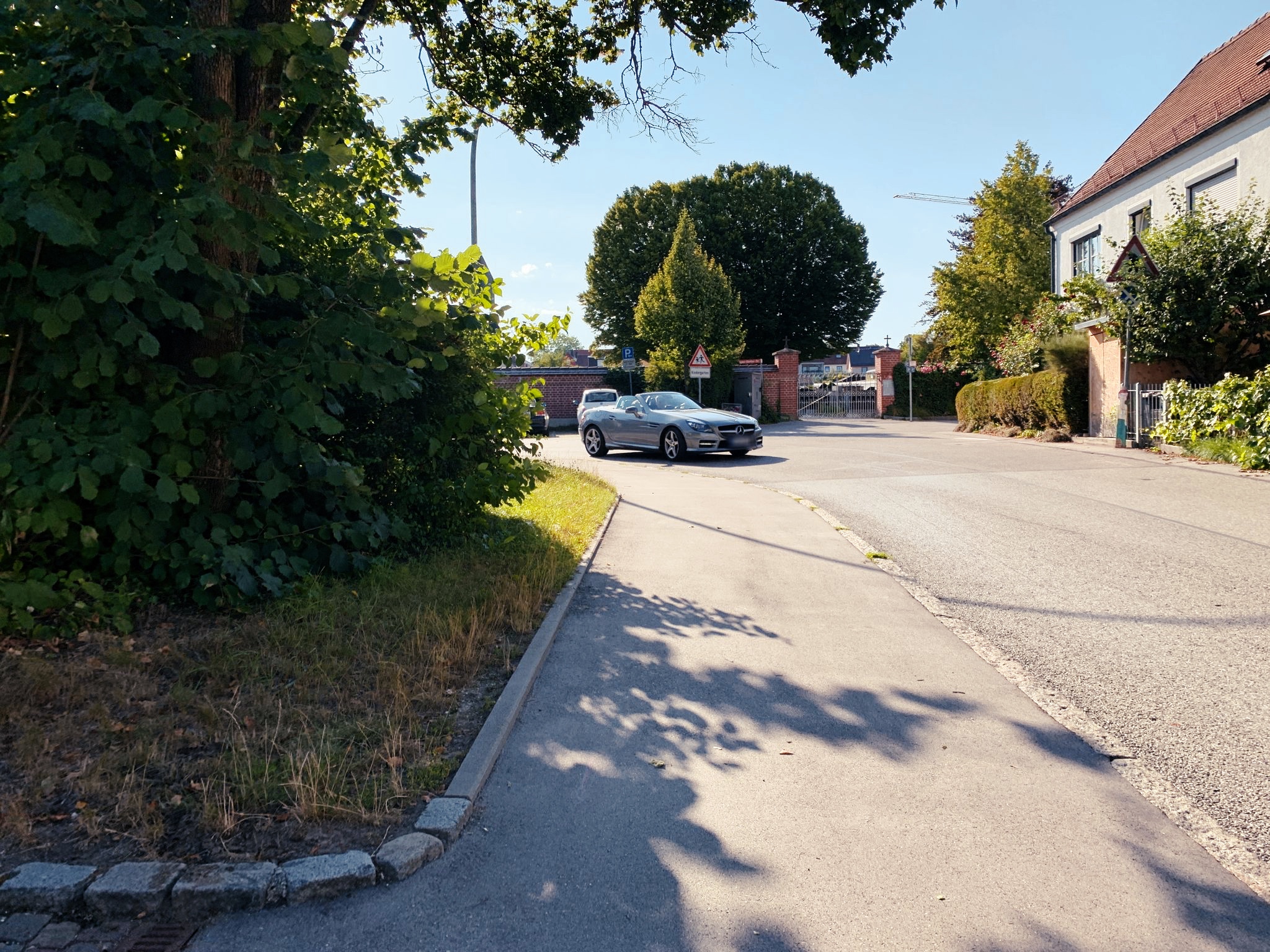
English: municipal residential road in the Neustift neighbourhood of Freising (Upper Bavaria, Germany). Pictured is the northernmost part of the street, including house number 28, as well as the cemetery St. Peter und Paul
Deutsch: Ortsstraße in Freising-Neustift (Oberbayern). Dargestellt ist der nördlichste Teil der Straße, inklusive Hausnummer 28 und dem Friedhof St. Peter und Paul
|
| ⧼wm-license-information-date⧽ | 2019 |
| ⧼wm-license-information-source⧽ | ⧼Wm-license-own-work⧽ |
| ⧼wm-license-information-author⧽ | ZoraSilv |
48°24′29″N 11°45′23″E / 48.408033°N 11.75625°E
ترخيص
تاريخ الملف
اضغط على زمن/تاريخ لرؤية الملف كما بدا في هذا الزمن.
| زمن/تاريخ | صورة مصغرة | الأبعاد | مستخدم | تعليق | |
|---|---|---|---|---|---|
| حالي | ★ مراجعة معتمدة 01:51، 23 نوفمبر 2023 | | 2٬048 × 1٬536 (1٫24 ميجابايت) | Pastakhov (نقاش | مساهمات) | Upload https://upload.wikimedia.org/wikipedia/commons/4/49/Ignaz-G%C3%BCnther-Stra%C3%9Fe.jpg |
لا يمكنك استبدال هذا الملف.
وصلات
لا يوجد صفحات تصل لهذه الصورة.