ملف:Hungary budapest districts.svg

حجم معاينة PNG لذلك الملف ذي الامتداد SVG: 562 × 537 بكسل. البعد الآخر: 2٬143 × 2٬048 بكسل.
الملف الأصلي (ملف SVG، أبعاده 562 × 537 بكسل، حجم الملف: 18 كيلوبايت)
وصف قصير
| ⧼wm-license-information-description⧽ |
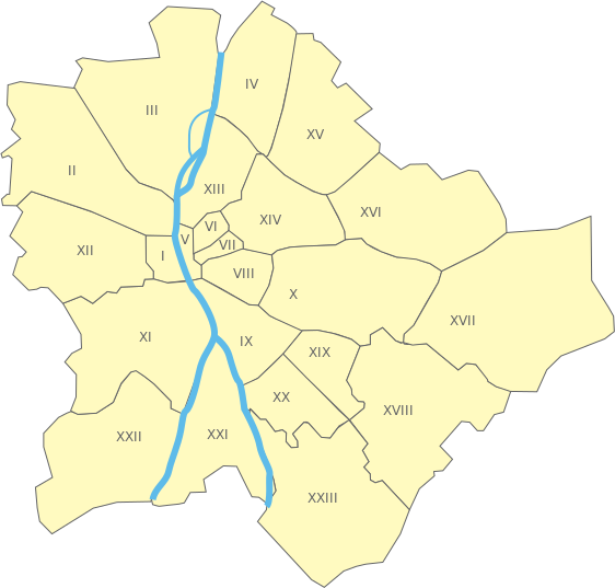
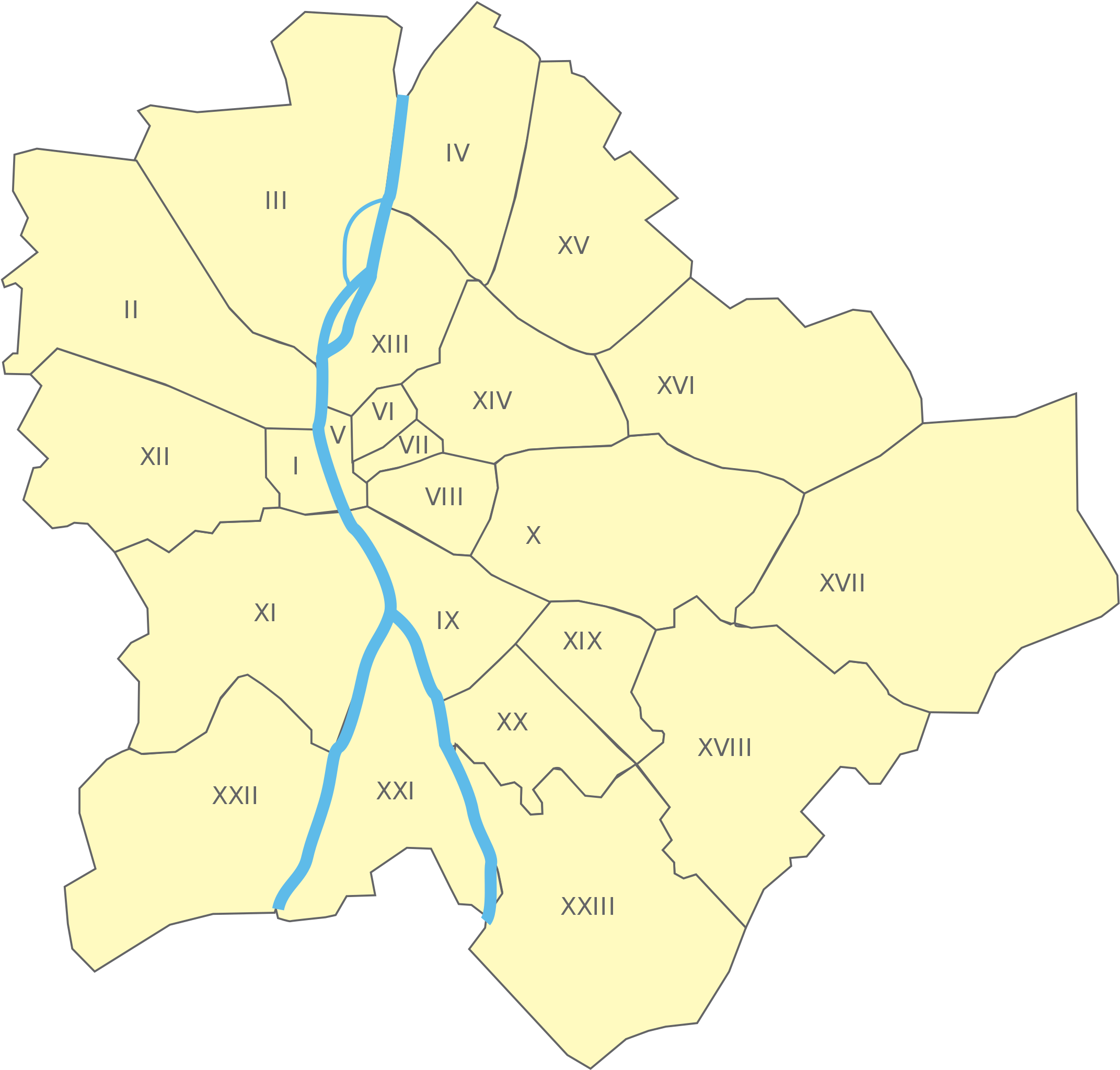
English: Map of Budapest districts
Approximate coordinates of the edges:
|
| ⧼wm-license-information-date⧽ | 2008 |
| ⧼wm-license-information-source⧽ | based on Image:Hungary budapest district13.svg by User:Norway.today |
| ⧼wm-license-information-author⧽ | User:Tgr |
| ⧼wm-license-information-other-versions⧽ |
ترخيص
|

تاريخ الملف
اضغط على زمن/تاريخ لرؤية الملف كما بدا في هذا الزمن.
| زمن/تاريخ | صورة مصغرة | الأبعاد | مستخدم | تعليق | |
|---|---|---|---|---|---|
| حالي | ★ مراجعة معتمدة 14:32، 15 ديسمبر 2023 | | 562 × 537 (18 كيلوبايت) | Pastakhov (نقاش | مساهمات) | Upload https://upload.wikimedia.org/wikipedia/commons/7/7c/Hungary_budapest_districts.svg |
لا يمكنك استبدال هذا الملف.
وصلات
لا يوجد صفحات تصل لهذه الصورة.