ملف:Historic mining town Cherokee, California, in May 2020.jpg
حجم هذه المعاينة: 800 × 533 بكسل. البعدان الآخران: 2٬560 × 1٬706 بكسل | 6٬520 × 4٬346 بكسل.
الملف الأصلي (6٬520 × 4٬346 بكسل حجم الملف: 37٫89 ميجابايت، نوع MIME: image/jpeg)
وصف قصير
| ⧼wm-license-information-description⧽ |
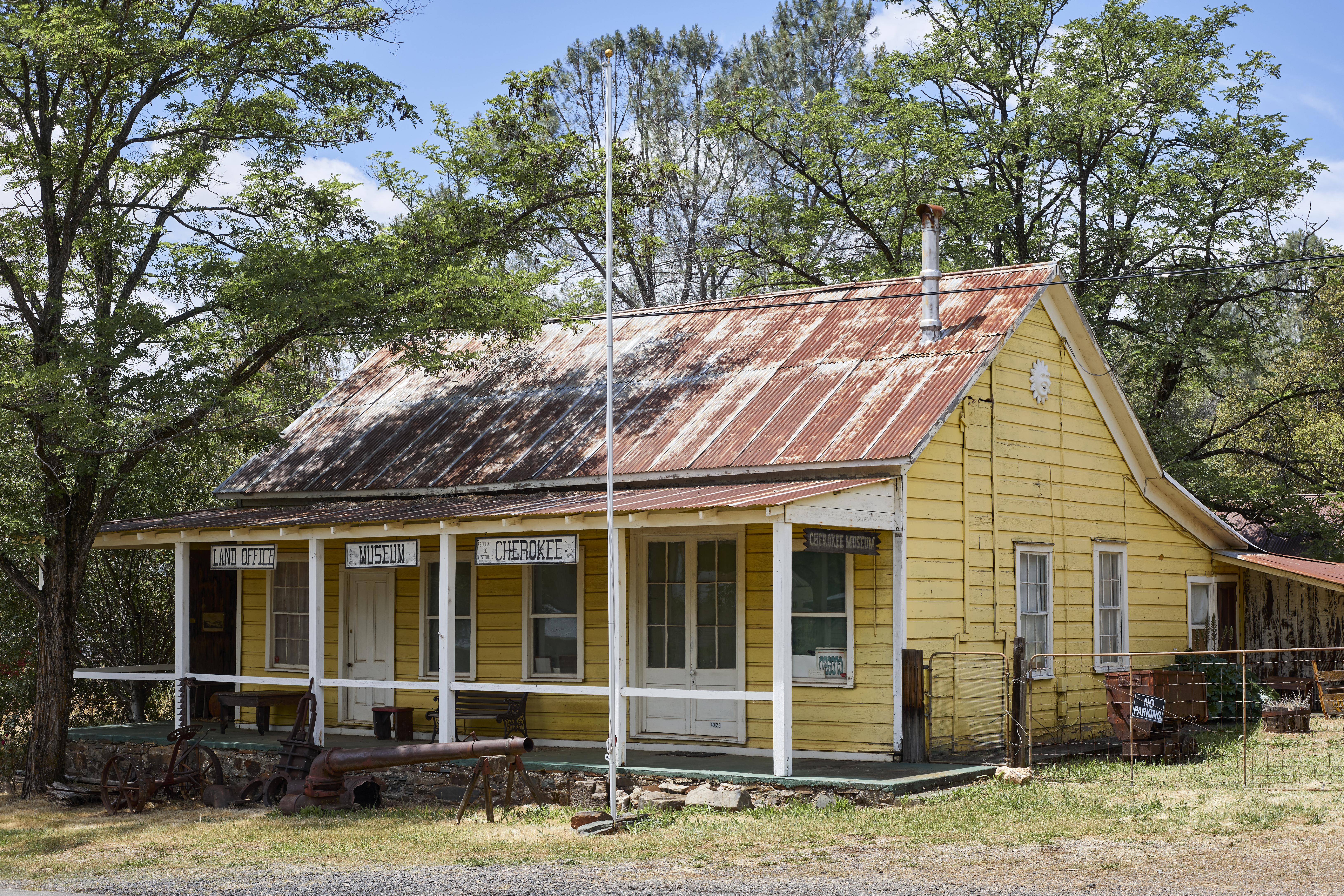
English: The museum of the historic mining town of Cherokee in Butte County, California, on May 19, 2020. The USGS identifies Cherokee Flat and Drytown as historic variant names for the community. The town is located on Cherokee Road off State Route 70.
|
| ⧼wm-license-information-date⧽ | 2020, {{time}} – invalid date format 40 (help) |
| ⧼wm-license-information-source⧽ | ⧼Wm-license-own-work⧽ |
| ⧼wm-license-information-author⧽ | Frank Schulenburg |
39°38′46″N 121°32′19″W / 39.646132°N 121.538682°W
ترخيص
|
تاريخ الملف
اضغط على زمن/تاريخ لرؤية الملف كما بدا في هذا الزمن.
| زمن/تاريخ | صورة مصغرة | الأبعاد | مستخدم | تعليق | |
|---|---|---|---|---|---|
| حالي | ★ مراجعة معتمدة 10:05، 18 أكتوبر 2023 | | 6٬520 × 4٬346 (37٫89 ميجابايت) | Pastakhov (نقاش | مساهمات) | Upload https://upload.wikimedia.org/wikipedia/commons/5/54/Historic_mining_town_Cherokee%2C_California%2C_in_May_2020.jpg |
لا يمكنك استبدال هذا الملف.
وصلات
لا يوجد صفحات تصل لهذه الصورة.