ملف:Hayes Street BR2 with the parish church - geograph.org.uk - 43878.jpg
لا توجد دقة أعلى متوفرة.
Hayes_Street_BR2_with_the_parish_church_-_geograph.org.uk_-_43878.jpg (640 × 485 بكسل حجم الملف: 63 كيلوبايت، نوع MIME: image/jpeg)
وصف قصير
| ⧼wm-license-information-description⧽ |
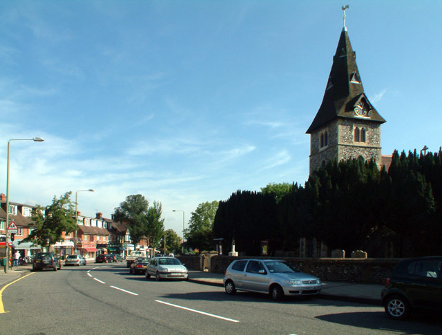
English: View north along part of Hayes Street, Hayes, southeast London (formerly Kent), with the parish church of St Mary the Virgin on the right
|
| ⧼wm-license-information-date⧽ | 2005 |
| ⧼wm-license-information-source⧽ | From geograph.org.uk |
| ⧼wm-license-information-author⧽ | Philip Talmage |
| ⧼wm-license-cc-attribution⧽ (قالب:I18n/Credit line) |
Philip Talmage / Hayes Street BR2 with the parish church / |
ترخيص
تاريخ الملف
اضغط على زمن/تاريخ لرؤية الملف كما بدا في هذا الزمن.
| زمن/تاريخ | صورة مصغرة | الأبعاد | مستخدم | تعليق | |
|---|---|---|---|---|---|
| حالي | ★ مراجعة معتمدة 22:58، 8 ديسمبر 2023 | | 640 × 485 (63 كيلوبايت) | Pastakhov (نقاش | مساهمات) | Upload https://upload.wikimedia.org/wikipedia/commons/b/b1/Hayes_Street_BR2_with_the_parish_church_-_geograph.org.uk_-_43878.jpg |
لا يمكنك استبدال هذا الملف.
وصلات
لا يوجد صفحات تصل لهذه الصورة.
تصنيفات:
- B265 road (England)
- Broach spires in London
- Church spires in London
- Church towers in London
- Clocks in the London Borough of Bromley
- St Mary the Virgin, Hayes, Bromley
- Spires in the London Borough of Bromley
- Taxus baccata in London
- Trees in the London Borough of Bromley
- Images by Philip Talmage
- United Kingdom photographs taken on 2005-08-23