ملف:Harrachov, rozcestník u nádraží.jpg
حجم هذه المعاينة: 800 × 600 بكسل. البعد الآخر: 2٬048 × 1٬536 بكسل.
الملف الأصلي (2٬048 × 1٬536 بكسل حجم الملف: 680 كيلوبايت، نوع MIME: image/jpeg)
| ⧼wm-license-information-description⧽ |
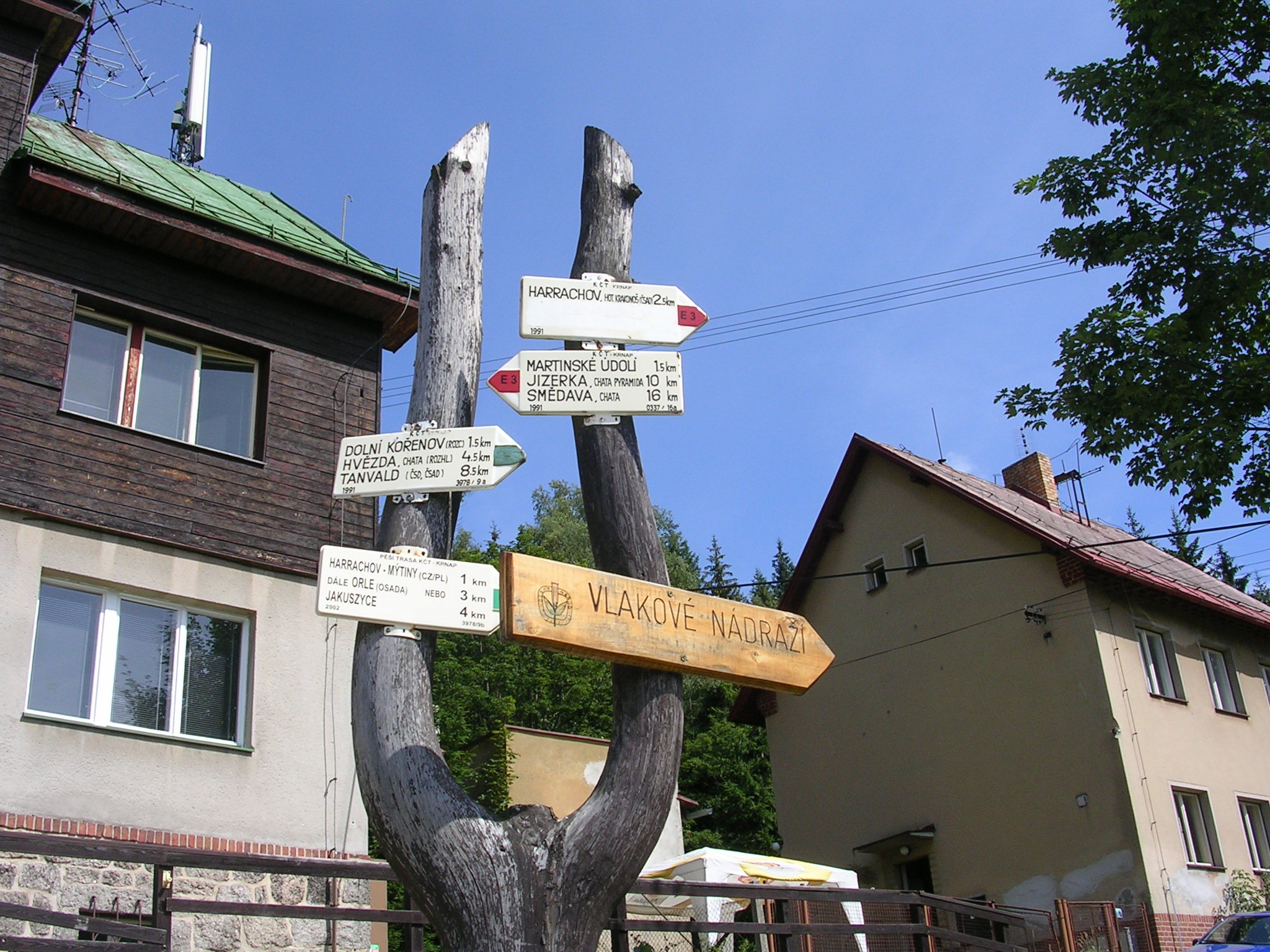
(بالتشيكية) English: Harrachov-Mýtiny, Semily District, Liberec Region. Hiking fingerpost near the train station.
|
|||
| ⧼wm-license-information-date⧽ | 2006 | |||
| ⧼wm-license-information-source⧽ | ⧼Wm-license-own-work⧽ | |||
| ⧼wm-license-information-author⧽ | cs:ŠJů | |||
| ⧼wm-license-information-permission⧽ (⧼wm-license-information-permission-reusing-text⧽) |
|
تاريخ الملف
اضغط على زمن/تاريخ لرؤية الملف كما بدا في هذا الزمن.
| زمن/تاريخ | صورة مصغرة | الأبعاد | مستخدم | تعليق | |
|---|---|---|---|---|---|
| حالي | ★ مراجعة معتمدة 23:54، 6 أكتوبر 2023 | | 2٬048 × 1٬536 (680 كيلوبايت) | Pastakhov (نقاش | مساهمات) | Upload https://upload.wikimedia.org/wikipedia/commons/8/8e/Harrachov%2C_rozcestn%C3%ADk_u_n%C3%A1dra%C5%BE%C3%AD.jpg |
لا يمكنك استبدال هذا الملف.
وصلات
لا يوجد صفحات تصل لهذه الصورة.