ملف:Harehills Lane, Leeds - geograph.org.uk - 35082.jpg
حجم هذه المعاينة: 527 × 599 بكسل. البعد الآخر: 563 × 640 بكسل.
الملف الأصلي (563 × 640 بكسل حجم الملف: 109 كيلوبايت، نوع MIME: image/jpeg)
وصف قصير
| ⧼wm-license-information-description⧽ |
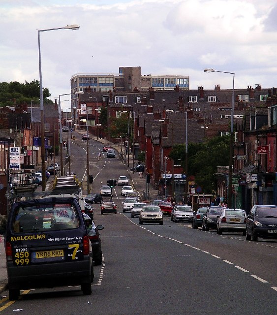
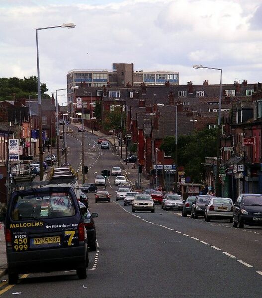
English: Harehills Lane, Leeds. A main thoroughfare east of the centre of Leeds, with lots of small shops, but now a rather rundown area. Hillcrest House (DSA Driving Test Centre) is in the distance. See Harehills for a description of the area.
|
| ⧼wm-license-information-date⧽ | 2005 |
| ⧼wm-license-information-source⧽ | From geograph.org.uk |
| ⧼wm-license-information-author⧽ | Lynne Kirton |
| ⧼wm-license-cc-attribution⧽ (قالب:I18n/Credit line) |
Lynne Kirton / Harehills Lane, Leeds / |
ترخيص
تاريخ الملف
اضغط على زمن/تاريخ لرؤية الملف كما بدا في هذا الزمن.
| زمن/تاريخ | صورة مصغرة | الأبعاد | مستخدم | تعليق | |
|---|---|---|---|---|---|
| حالي | ★ مراجعة معتمدة 07:47، 15 ديسمبر 2023 | | 563 × 640 (109 كيلوبايت) | Pastakhov (نقاش | مساهمات) | Upload https://upload.wikimedia.org/wikipedia/commons/2/21/Harehills_Lane%2C_Leeds_-_geograph.org.uk_-_35082.jpg |
لا يمكنك استبدال هذا الملف.
وصلات
لا يوجد صفحات تصل لهذه الصورة.