ملف:Hampton-bays-map.gif
لا توجد دقة أعلى متوفرة.
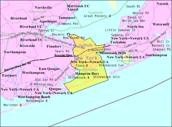
Hampton-bays-map.gif (575 × 425 بكسل حجم الملف: 46 كيلوبايت، نوع MIME: image/gif)
وصف قصير

|
[This image was moved to Wikimedia Commons from en.wikipedia using a bot script. All source information is still present. It requires review. Additionally, there may be errors in any or all of the information fields; information on this image should not be considered reliable and the image should not be used until it has been reviewed and any needed corrections have been made. Once the review has been completed, this template should be removed. For details, see below. Check now!] Error: {{Lang}}: text has italic markup (help)
Afrikaans | Deutsch | English | suomi | français | עברית | Plattdüütsch | Nederlands | русский | ไทย | +/− |
| ⧼wm-license-information-description⧽ | |
| ⧼wm-license-information-date⧽ | 2007 |
| ⧼wm-license-information-source⧽ | http://factfinder.census.gov |
| ⧼wm-license-information-author⧽ | United States Census Bureau |
| ⧼wm-license-information-permission⧽ (⧼wm-license-information-permission-reusing-text⧽) |
Public domain |
ترخيص
قالب:Original upload log
قالب:Transferred from قالب:Original description
- 2007-10-22 08:48 Americasroof 575×425× (46655 bytes) [[Hampton Bays, New York]] map from United States Census.
تاريخ الملف
اضغط على زمن/تاريخ لرؤية الملف كما بدا في هذا الزمن.
| زمن/تاريخ | صورة مصغرة | الأبعاد | مستخدم | تعليق | |
|---|---|---|---|---|---|
| حالي | ★ مراجعة معتمدة 01:28، 9 أكتوبر 2023 | | 575 × 425 (46 كيلوبايت) | Pastakhov (نقاش | مساهمات) | Upload https://upload.wikimedia.org/wikipedia/commons/1/1a/Hampton-bays-map.gif |
لا يمكنك استبدال هذا الملف.
وصلات
لا يوجد صفحات تصل لهذه الصورة.