ملف:Greenland location map.svg

حجم معاينة PNG لذلك الملف ذي الامتداد SVG: 547 × 599 بكسل. البعد الآخر: 1٬870 × 2٬048 بكسل.
الملف الأصلي (ملف SVG، أبعاده 2٬054 × 2٬250 بكسل، حجم الملف: 1٫57 ميجابايت)
وصف قصير
| ⧼wm-license-information-description⧽ |
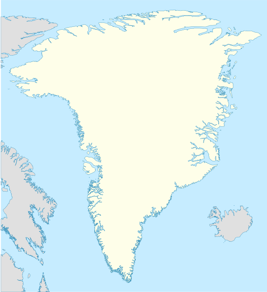
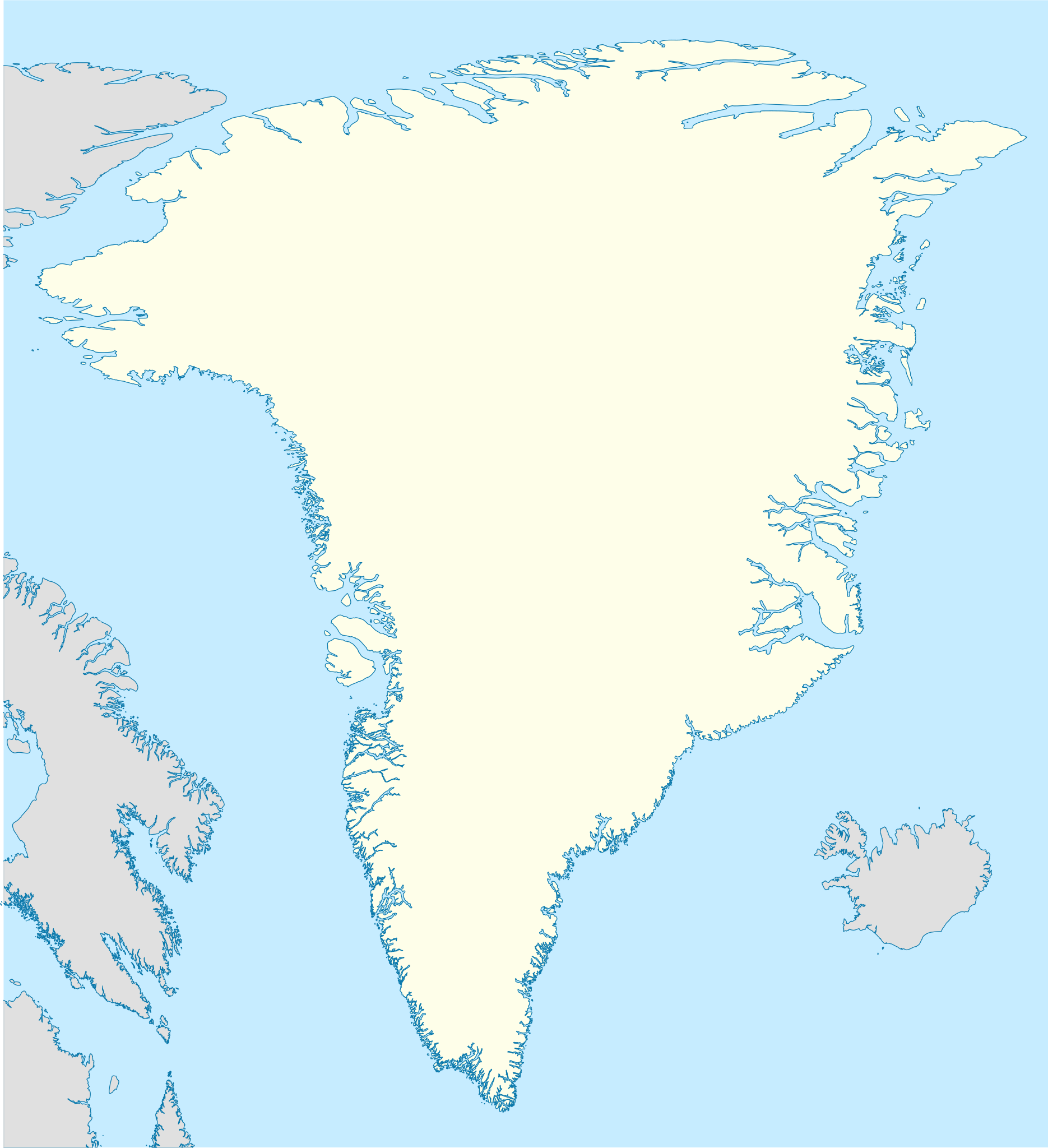
Deutsch: Positionskarte von Grönland
Quadratische Plattkarte, N-S-Streckung 280 %. Geographische Begrenzung der Karte:
English: Location map of Greenland
Equirectangular projection, N/S stretching 280 %. Geographic limits of the map:
|
| ⧼wm-license-information-date⧽ | 2008 |
| ⧼wm-license-information-source⧽ | own work, using United States National Imagery and Mapping Agency data |
| ⧼wm-license-information-author⧽ | NordNordWest |
ترخيص
|

تاريخ الملف
اضغط على زمن/تاريخ لرؤية الملف كما بدا في هذا الزمن.
| زمن/تاريخ | صورة مصغرة | الأبعاد | مستخدم | تعليق | |
|---|---|---|---|---|---|
| حالي | ★ مراجعة معتمدة 05:10، 5 نوفمبر 2023 | | 2٬054 × 2٬250 (1٫57 ميجابايت) | Pastakhov (نقاش | مساهمات) | Upload https://upload.wikimedia.org/wikipedia/commons/1/14/Greenland_location_map.svg |
لا يمكنك استبدال هذا الملف.
وصلات
لا يوجد صفحات تصل لهذه الصورة.