ملف:Gorg Blau RNN Nohèdes.jpg
حجم هذه المعاينة: 800 × 450 بكسل. البعدان الآخران: 2٬560 × 1٬439 بكسل | 4٬000 × 2٬248 بكسل.
الملف الأصلي (4٬000 × 2٬248 بكسل حجم الملف: 3٫74 ميجابايت، نوع MIME: image/jpeg)
وصف قصير
| ⧼wm-license-information-description⧽ |
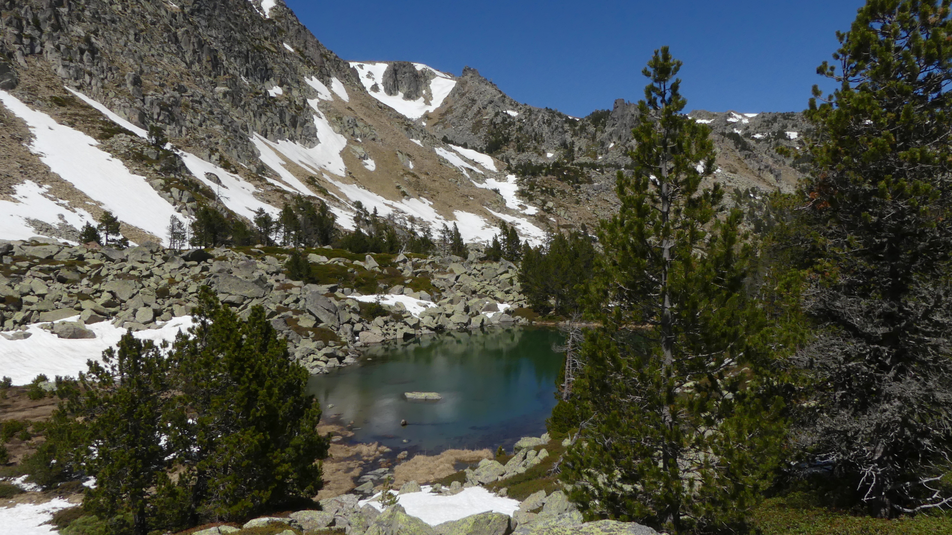
Français : Gorg Blau; Etang d'altitude 2130 m; face Sud du Madrès; dernière névés; RNN Nohèdes;
English: Gorg Blau; Mountain pond at 2130 m; southern slope of Madrès; last snow patches; RNN Nohèdes;
|
| ⧼wm-license-information-date⧽ | 2016, {{time}} – invalid date format 50 (help) |
| ⧼wm-license-information-source⧽ | ⧼Wm-license-own-work⧽ |
| ⧼wm-license-information-author⧽ | AMReboulet |
42°38′33″N 2°12′20″E / 42.642529°N 2.205667°E
ترخيص
|
تاريخ الملف
اضغط على زمن/تاريخ لرؤية الملف كما بدا في هذا الزمن.
| زمن/تاريخ | صورة مصغرة | الأبعاد | مستخدم | تعليق | |
|---|---|---|---|---|---|
| حالي | ★ مراجعة معتمدة 00:59، 5 أكتوبر 2023 | | 4٬000 × 2٬248 (3٫74 ميجابايت) | Pastakhov (نقاش | مساهمات) | Upload https://upload.wikimedia.org/wikipedia/commons/2/26/Gorg_Blau_RNN_Noh%C3%A8des.jpg |
لا يمكنك استبدال هذا الملف.
وصلات
لا يوجد صفحات تصل لهذه الصورة.