ملف:Gem-Waadhoeke-OpenTopo100.jpg

حجم هذه المعاينة: 473 × 599 بكسل. البعدان الآخران: 1٬617 × 2٬048 بكسل | 7٬320 × 9٬270 بكسل.
الملف الأصلي (7٬320 × 9٬270 بكسل حجم الملف: 5٫91 ميجابايت، نوع MIME: image/jpeg)
وصف قصير
| ⧼wm-license-information-description⧽ |
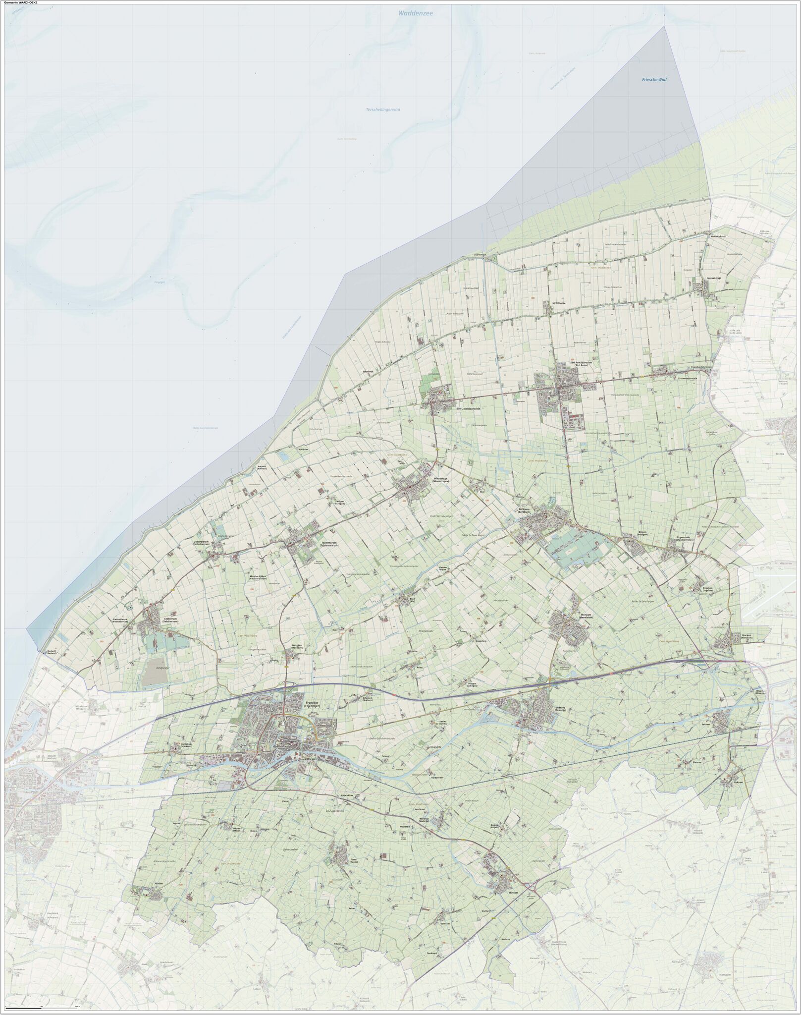
English: Topographic overview map of the Dutch municipality of Waadhoeke (existant as per 1-1-2018). Map is composed using Dutch governmental open geo data (CC-BY Kadaster) and elements from the OpenStreetMap, CC-BY OpenStreetMap community. Author: Jan-Willem van Aalst (OpenTopo).
|
| ⧼wm-license-information-date⧽ | 2023 |
| ⧼wm-license-information-source⧽ | ⧼Wm-license-own-work⧽ |
| ⧼wm-license-information-author⧽ | Janwillemvanaalst |
ترخيص
|
تاريخ الملف
اضغط على زمن/تاريخ لرؤية الملف كما بدا في هذا الزمن.
| زمن/تاريخ | صورة مصغرة | الأبعاد | مستخدم | تعليق | |
|---|---|---|---|---|---|
| حالي | ★ مراجعة معتمدة 21:22، 26 أكتوبر 2023 | | 7٬320 × 9٬270 (5٫91 ميجابايت) | Pastakhov (نقاش | مساهمات) | Upload https://upload.wikimedia.org/wikipedia/commons/0/0f/Gem-Waadhoeke-OpenTopo100.jpg |
لا يمكنك استبدال هذا الملف.
وصلات
لا يوجد صفحات تصل لهذه الصورة.