ملف:Gartly geograph-3557396-by-Ben-Brooksbank.jpg
حجم هذه المعاينة: 800 × 483 بكسل. البعد الآخر: 2٬391 × 1٬443 بكسل.
الملف الأصلي (2٬391 × 1٬443 بكسل حجم الملف: 3٫53 ميجابايت، نوع MIME: image/jpeg)
وصف قصير
| ⧼wm-license-information-description⧽ |
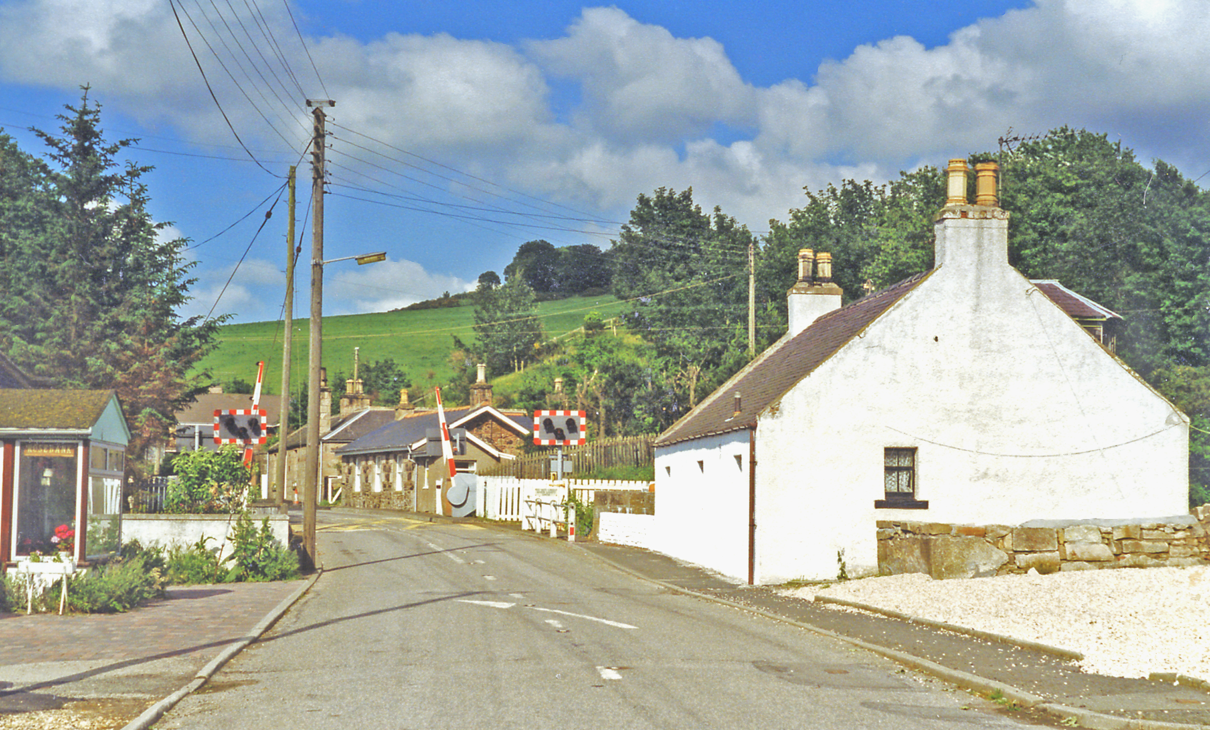
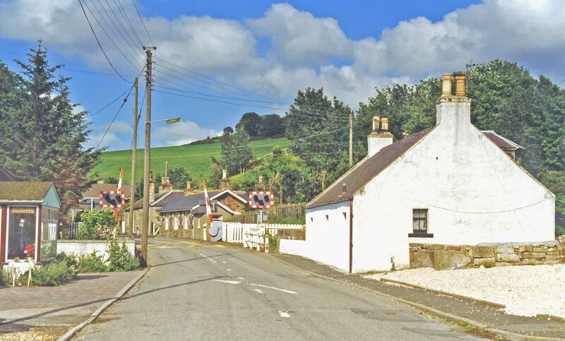
English: Approaching level-crossing at Gartly, 1997.
View eastwards, the former station (closed 6/5/68) being on the right: ex-GNSR Aberdeen (to right) - Elgin - (Inverness) main line |
| ⧼wm-license-information-date⧽ | 1997 |
| ⧼wm-license-information-source⧽ | From geograph.org.uk |
| ⧼wm-license-information-author⧽ | Ben Brooksbank |
| ⧼wm-license-information-permission⧽ (⧼wm-license-information-permission-reusing-text⧽) |
Creative Commons Attribution Share-alike license 2.0 |
| ⧼wm-license-cc-attribution⧽ (قالب:I18n/Credit line) |
Ben Brooksbank / Approaching level-crossing at Gartly, 1997 / |
ترخيص
تاريخ الملف
اضغط على زمن/تاريخ لرؤية الملف كما بدا في هذا الزمن.
| زمن/تاريخ | صورة مصغرة | الأبعاد | مستخدم | تعليق | |
|---|---|---|---|---|---|
| حالي | ★ مراجعة معتمدة 17:27، 25 أكتوبر 2023 | | 2٬391 × 1٬443 (3٫53 ميجابايت) | Pastakhov (نقاش | مساهمات) | Upload https://upload.wikimedia.org/wikipedia/commons/2/2f/Gartly_geograph-3557396-by-Ben-Brooksbank.jpg |
لا يمكنك استبدال هذا الملف.
وصلات
لا يوجد صفحات تصل لهذه الصورة.