ملف:Fuentes de Bejar calle Constitución desde iglesia.jpg
حجم هذه المعاينة: 800 × 600 بكسل. البعد الآخر: 2٬048 × 1٬536 بكسل.
الملف الأصلي (2٬048 × 1٬536 بكسل حجم الملف: 1٬023 كيلوبايت، نوع MIME: image/jpeg)
وصف قصير
| ⧼wm-license-information-description⧽ |
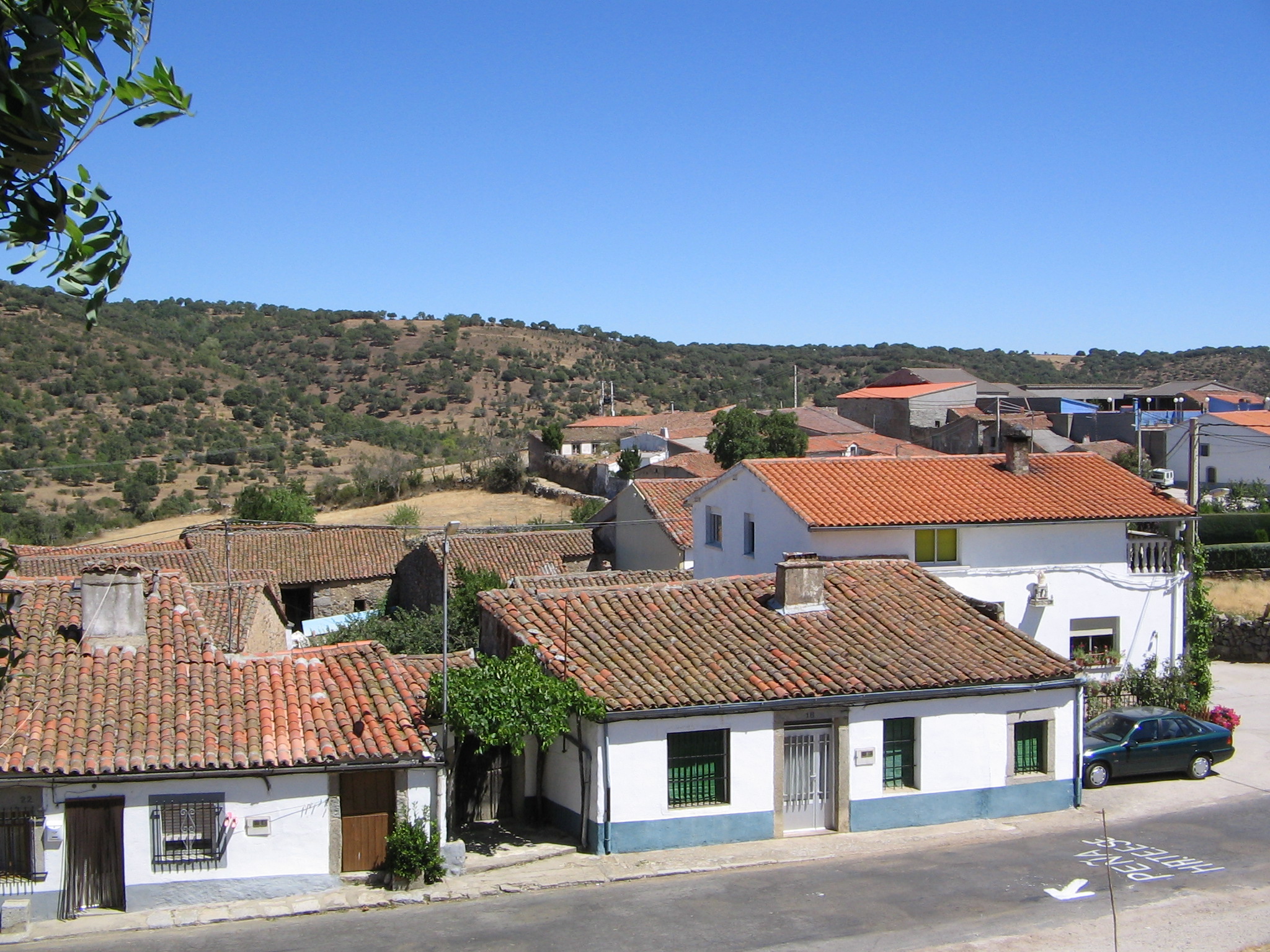
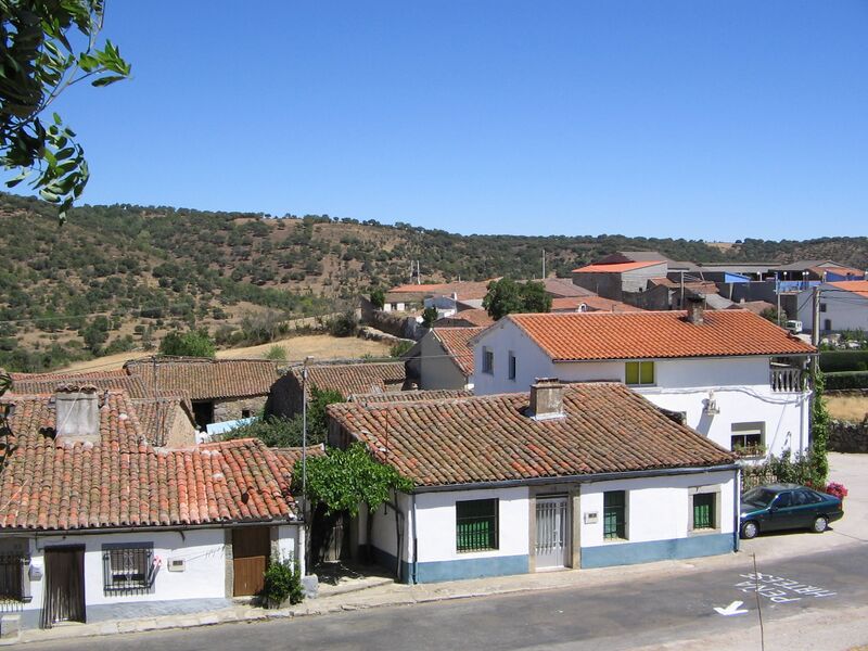
Español: calle Constitución, casa vistas desde la parte trasera de la Iglesia de Nuestra Señora de la Purificación
|
| ⧼wm-license-information-date⧽ | 2005, {{time}} – invalid date format 55 (help) |
| ⧼wm-license-information-source⧽ | ⧼Wm-license-own-work⧽ |
| ⧼wm-license-information-author⧽ | Ytha67 |
40°30′30″N 5°41′39″W / 40.508415°N 5.694292°W Fuentes de Béjar es una población de Salamanca, ubicada a 15 km de Béjar y a 5 kilómetros de Guijuelo. Formó parte del señorío de los Duques de Béjar. En este municipio tiene su nacimiento el río Sangusín, afluente del río Alagón.
ترخيص
|
تاريخ الملف
اضغط على زمن/تاريخ لرؤية الملف كما بدا في هذا الزمن.
| زمن/تاريخ | صورة مصغرة | الأبعاد | مستخدم | تعليق | |
|---|---|---|---|---|---|
| حالي | ★ مراجعة معتمدة 20:15، 5 أكتوبر 2023 | | 2٬048 × 1٬536 (1٬023 كيلوبايت) | Pastakhov (نقاش | مساهمات) | Upload https://upload.wikimedia.org/wikipedia/commons/6/67/Fuentes_de_Bejar_calle_Constituci%C3%B3n_desde_iglesia.jpg |
لا يمكنك استبدال هذا الملف.
وصلات
لا يوجد صفحات تصل لهذه الصورة.