ملف:Fort Meade, Maryland (14496857244).jpg
الملف الأصلي (4٬000 × 3٬000 بكسل حجم الملف: 2٫55 ميجابايت، نوع MIME: image/jpeg)
وصف قصير
| ⧼wm-license-information-description⧽ |
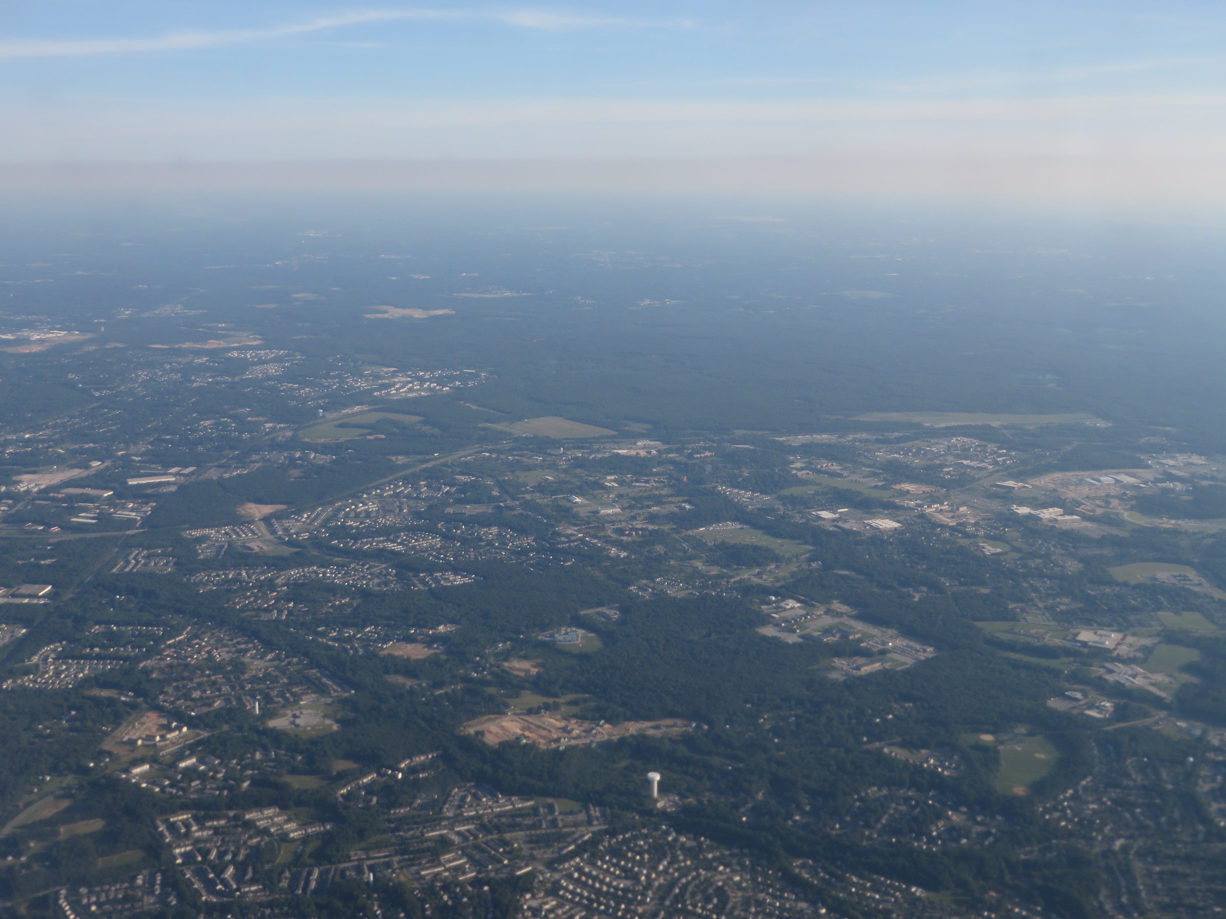
Fort Meade is a census-designated place (CDP) in Anne Arundel County, Maryland, United States. The population was 9,327 at the 2010 census. It is the home to the National Security Agency and the Defense Information Systems Agency, which are located on the US Army post Fort George G. Meade. It is located approximately halfway between the cities of Baltimore and Washington, D.C. It is bounded on the northwest by the Baltimore–Washington Parkway (Maryland Route 295) and on the south and southwest by the Patuxent Freeway (Maryland Route 32), which leads southeast towards Annapolis and northwest to Columbia. en.wikipedia.org/wiki/Fort_Meade,_Maryland en.wikipedia.org/wiki/Wikipedia:Text_of_Creative_Commons_... |
| ⧼wm-license-information-date⧽ | 2014, {{time}} – invalid date format 43 (help) |
| ⧼wm-license-information-source⧽ | Fort Meade, Maryland |
| ⧼wm-license-information-author⧽ | Ken Lund from Reno, Nevada, USA |
ترخيص
تاريخ الملف
اضغط على زمن/تاريخ لرؤية الملف كما بدا في هذا الزمن.
| زمن/تاريخ | صورة مصغرة | الأبعاد | مستخدم | تعليق | |
|---|---|---|---|---|---|
| حالي | ★ مراجعة معتمدة 04:54، 16 يناير 2024 | | 4٬000 × 3٬000 (2٫55 ميجابايت) | Pastakhov (نقاش | مساهمات) | Upload https://upload.wikimedia.org/wikipedia/commons/7/71/Fort_Meade%2C_Maryland_%2814496857244%29.jpg |
لا يمكنك استبدال هذا الملف.
وصلات
لا يوجد صفحات تصل لهذه الصورة.
.jpg&oldid=3891790)