ملف:Empúries Map.png

حجم هذه المعاينة: 400 × 600 بكسل. البعد الآخر: 2٬000 × 3٬000 بكسل.
الملف الأصلي (2٬000 × 3٬000 بكسل حجم الملف: 1٫04 ميجابايت، نوع MIME: image/png)
وصف قصير
| ⧼wm-license-information-description⧽ | |
| ⧼wm-license-information-date⧽ | 2010 |
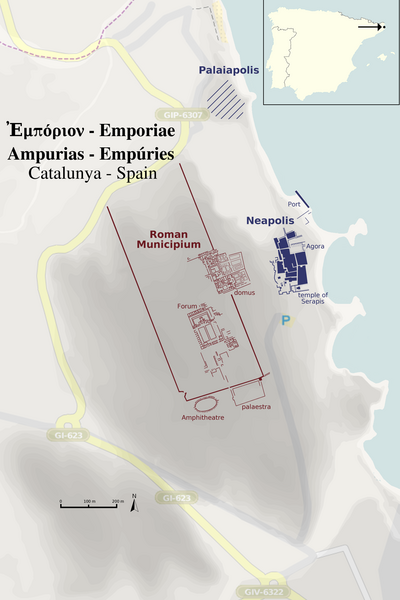
| ⧼wm-license-information-source⧽ | openstreetmap.org [1] + official Empúries-guide + own work, locator map File:Iberian Peninsula location map.svg |
| ⧼wm-license-information-author⧽ | Contributors of the relevant openstreetmap.org data + Haselburg-müller |
ترخيص
تاريخ الملف
اضغط على زمن/تاريخ لرؤية الملف كما بدا في هذا الزمن.
| زمن/تاريخ | صورة مصغرة | الأبعاد | مستخدم | تعليق | |
|---|---|---|---|---|---|
| حالي | ★ مراجعة معتمدة 17:57، 20 أكتوبر 2023 | | 2٬000 × 3٬000 (1٫04 ميجابايت) | Pastakhov (نقاش | مساهمات) | Upload https://upload.wikimedia.org/wikipedia/commons/6/67/Emp%C3%BAries_Map.png |
لا يمكنك استبدال هذا الملف.
وصلات
لا يوجد صفحات تصل لهذه الصورة.