ملف:ElizabethIslandsChart.png
حجم هذه المعاينة: 800 × 453 بكسل. البعد الآخر: 1٬433 × 812 بكسل.
الملف الأصلي (1٬433 × 812 بكسل حجم الملف: 196 كيلوبايت، نوع MIME: image/png)
وصف قصير
| ⧼wm-license-information-description⧽ |
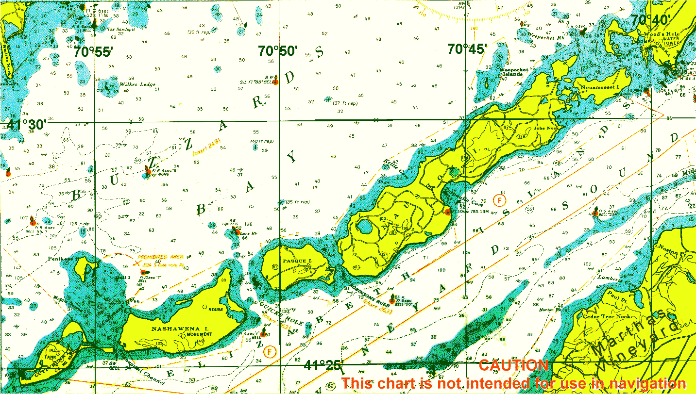
English: chart of Elizabeth Islands, Dukes County, Massachusetts, USA
|
| ⧼wm-license-information-date⧽ | circa 2000 |
| ⧼wm-license-information-source⧽ | http://chartmaker.ncd.noaa.gov |
| ⧼wm-license-information-author⧽ | NOAA |
ترخيص

|
قالب:Original upload log
| زمن/تاريخ | الأبعاد | مستخدم | تعليق |
|---|---|---|---|
| 2010, {{time}} – invalid date format 10 (help) | 1433 × 812 (171446 bytes) | خطأ: لا توجد وحدة بهذا الاسم "user". | {{Information |Description={{en|1=chart of Elizabeth Islands, Dukes County, Massachusetts, USA}} |Source=http://chartmaker.ncd.noaa.gov |Author=NOAA |Date=2000? |Permission= |other_versions= }} [[Category:Dukes Count |
تاريخ الملف
اضغط على زمن/تاريخ لرؤية الملف كما بدا في هذا الزمن.
| زمن/تاريخ | صورة مصغرة | الأبعاد | مستخدم | تعليق | |
|---|---|---|---|---|---|
| حالي | ★ مراجعة معتمدة 23:47، 14 ديسمبر 2023 | | 1٬433 × 812 (196 كيلوبايت) | Pastakhov (نقاش | مساهمات) | Upload https://upload.wikimedia.org/wikipedia/commons/d/de/ElizabethIslandsChart.png |
لا يمكنك استبدال هذا الملف.
وصلات
لا يوجد صفحات تصل لهذه الصورة.