ملف:East Midlands route map 2010.svg

حجم معاينة PNG لذلك الملف ذي الامتداد SVG: 574 × 599 بكسل. البعد الآخر: 1٬962 × 2٬048 بكسل.
الملف الأصلي (ملف SVG، أبعاده 1٬002 × 1٬046 بكسل، حجم الملف: 1٫42 ميجابايت)
وصف قصير
| ⧼wm-license-information-description⧽ |
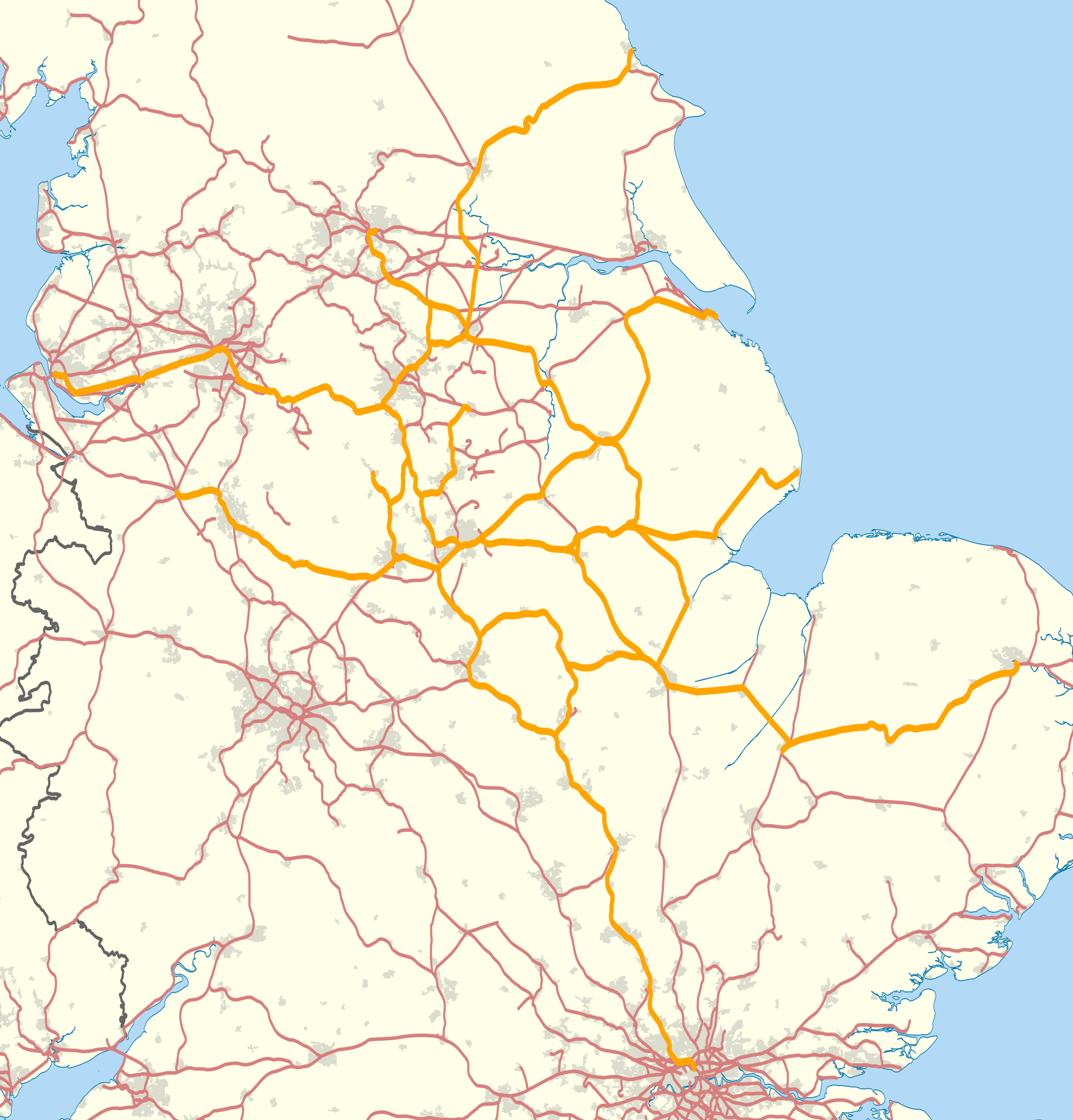
Map showing railway routes operated by East Midlands Trains in 2010. The background map shows the coastline and major urban areas. Equirectangular map projection on WGS 84 datum, with N/S stretched 165% |
| ⧼wm-license-information-date⧽ | 2011 |
| ⧼wm-license-information-source⧽ | Ordnance Survey OpenData.
|
| ⧼wm-license-information-author⧽ | Nilfanion |
ترخيص
|

تاريخ الملف
اضغط على زمن/تاريخ لرؤية الملف كما بدا في هذا الزمن.
| زمن/تاريخ | صورة مصغرة | الأبعاد | مستخدم | تعليق | |
|---|---|---|---|---|---|
| حالي | ★ مراجعة معتمدة 20:49، 7 أكتوبر 2023 | | 1٬002 × 1٬046 (1٫42 ميجابايت) | Pastakhov (نقاش | مساهمات) | Upload https://upload.wikimedia.org/wikipedia/commons/c/c7/East_Midlands_route_map_2010.svg |
لا يمكنك استبدال هذا الملف.
وصلات
لا يوجد صفحات تصل لهذه الصورة.