ملف:Dioecesis Italiae locator map.png
حجم هذه المعاينة: 800 × 550 بكسل. البعد الآخر: 2٬042 × 1٬404 بكسل.
الملف الأصلي (2٬042 × 1٬404 بكسل حجم الملف: 104 كيلوبايت، نوع MIME: image/png)
وصف قصير
| ⧼wm-license-information-description⧽ |
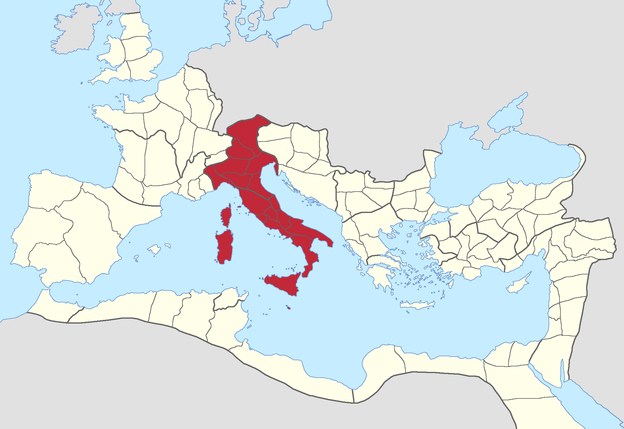
English: Locator map of diocese Italia of the Roman Empire.
Based on File:Roman Empire with praetorian prefectures in 400 AD.png by User:Mandrak.
|
| ⧼wm-license-information-date⧽ | 2021 |
| ⧼wm-license-information-source⧽ | ⧼Wm-license-own-work⧽ |
| ⧼wm-license-information-author⧽ | Tomisti |
ترخيص
|
تاريخ الملف
اضغط على زمن/تاريخ لرؤية الملف كما بدا في هذا الزمن.
| زمن/تاريخ | صورة مصغرة | الأبعاد | مستخدم | تعليق | |
|---|---|---|---|---|---|
| حالي | ★ مراجعة معتمدة 20:08، 18 أكتوبر 2023 | | 2٬042 × 1٬404 (104 كيلوبايت) | Pastakhov (نقاش | مساهمات) | Upload https://upload.wikimedia.org/wikipedia/commons/d/da/Dioecesis_Italiae_locator_map.png |
لا يمكنك استبدال هذا الملف.
وصلات
لا يوجد صفحات تصل لهذه الصورة.