ملف:Descending Mt. Mataas na Gulod towards the Dos Picos Valley of the Palay-Palay-Mataas-na-Gulod Protected Landscape of Cavite.jpg

حجم هذه المعاينة: 800 × 600 بكسل. البعد الآخر: 1٬920 × 1٬440 بكسل.
الملف الأصلي (1٬920 × 1٬440 بكسل حجم الملف: 902 كيلوبايت، نوع MIME: image/jpeg)
وصف قصير
| ⧼wm-license-information-description⧽ |
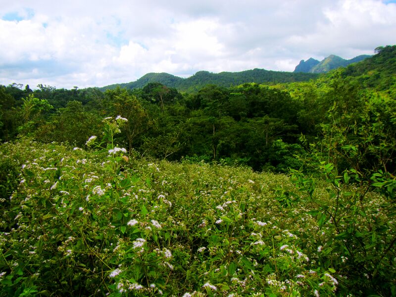
English: View of Mt. Pico De Loro at a vantage point from the valley between Mt. Mataas na Gulod and Mt. Dos Picos at the middle of the Palay-Palay Mataas na Gulod Protected Landscape of Cavite during its first mapping expedition to the jungle by Schadow1 Expeditions.
|
|||||
| ⧼wm-license-information-date⧽ | 2014 | |||||
| ⧼wm-license-information-source⧽ | ⧼Wm-license-own-work⧽ | |||||
| ⧼wm-license-information-author⧽ | Ervin Malicdem | |||||
| ⧼wm-license-information-permission⧽ (⧼wm-license-information-permission-reusing-text⧽) |
|

قالب:Location dec Initially published at Schadow1 Expeditions article available at http://www.s1expeditions.com/2014/12/168-palaypalay-gulod-megatraverse.html
تاريخ الملف
اضغط على زمن/تاريخ لرؤية الملف كما بدا في هذا الزمن.
| زمن/تاريخ | صورة مصغرة | الأبعاد | مستخدم | تعليق | |
|---|---|---|---|---|---|
| حالي | ★ مراجعة معتمدة 19:28، 27 أكتوبر 2023 | | 1٬920 × 1٬440 (902 كيلوبايت) | Pastakhov (نقاش | مساهمات) | Upload https://upload.wikimedia.org/wikipedia/commons/b/b6/Descending_Mt._Mataas_na_Gulod_towards_the_Dos_Picos_Valley_of_the_Palay-Palay-Mataas-na-Gulod_Protected_Landscape_of_Cavite.jpg |
لا يمكنك استبدال هذا الملف.
وصلات
لا يوجد صفحات تصل لهذه الصورة.