ملف:Deir ez-Zor districts.png
حجم هذه المعاينة: 789 × 600 بكسل. البعد الآخر: 1٬001 × 761 بكسل.
الملف الأصلي (1٬001 × 761 بكسل حجم الملف: 19 كيلوبايت، نوع MIME: image/png)
وصف قصير
| ⧼wm-license-information-description⧽ |
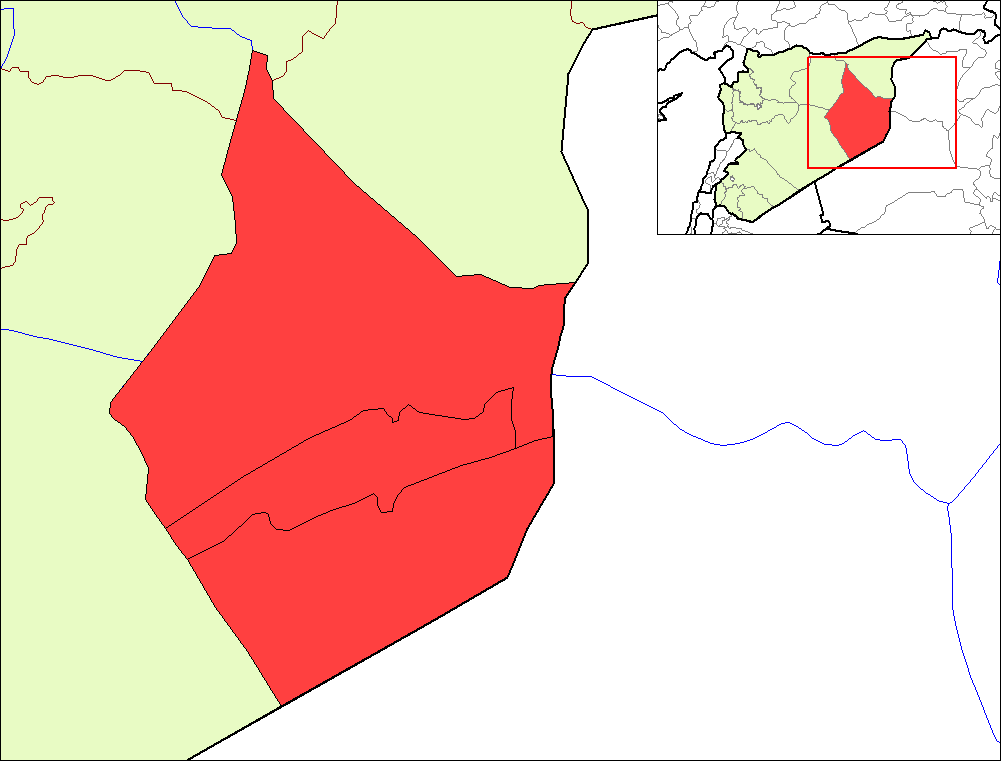
Map of the districts of Deir ez-Zor governorate in Syria. |
||
| ⧼wm-license-information-date⧽ | 2007 | ||
| ⧼wm-license-information-source⧽ | Created by Rarelibra 16:07, 8 May 2007 (UTC) for public domain use, using MapInfo Professional v8.5 and various mapping resources. | ||
| ⧼wm-license-information-author⧽ | Rarelibra | ||
| ⧼wm-license-information-permission⧽ (⧼wm-license-information-permission-reusing-text⧽) |
|
تاريخ الملف
اضغط على زمن/تاريخ لرؤية الملف كما بدا في هذا الزمن.
| زمن/تاريخ | صورة مصغرة | الأبعاد | مستخدم | تعليق | |
|---|---|---|---|---|---|
| حالي | ★ مراجعة معتمدة 15:27، 5 أكتوبر 2023 | | 1٬001 × 761 (19 كيلوبايت) | Pastakhov (نقاش | مساهمات) | Upload https://upload.wikimedia.org/wikipedia/commons/4/43/Deir_ez-Zor_districts.png |
لا يمكنك استبدال هذا الملف.
وصلات
لا يوجد صفحات تصل لهذه الصورة.