ملف:Dagnam Park, Harold Hill, Essex - geograph.org.uk - 23738.jpg
لا توجد دقة أعلى متوفرة.
Dagnam_Park,_Harold_Hill,_Essex_-_geograph.org.uk_-_23738.jpg (640 × 480 بكسل حجم الملف: 62 كيلوبايت، نوع MIME: image/jpeg)
وصف قصير
| ⧼wm-license-information-description⧽ |
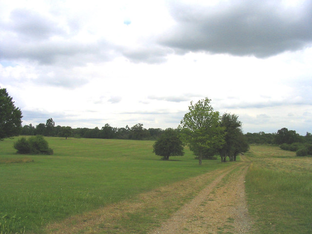
English: Dagnam Park, Harold Hill, London Borough of Havering. This urban park was once part of the 'Dagnams' country estate - the house was hit by a V2 rocket at end of 2nd World War and later demolished after the L.C.C. had bought the whole estate for £60,000. Now just the parkland is left.
|
| ⧼wm-license-information-date⧽ | 2005 |
| ⧼wm-license-information-source⧽ | From geograph.org.uk |
| ⧼wm-license-information-author⧽ | John Winfield |
| ⧼wm-license-cc-attribution⧽ (قالب:I18n/Credit line) |
John Winfield / Dagnam Park, Harold Hill, Essex / |
51°36′46″N 0°14′19″E / 51.61280°N 0.2386°E قالب:Object location
_heading:0)
ترخيص
تاريخ الملف
اضغط على زمن/تاريخ لرؤية الملف كما بدا في هذا الزمن.
| زمن/تاريخ | صورة مصغرة | الأبعاد | مستخدم | تعليق | |
|---|---|---|---|---|---|
| حالي | ★ مراجعة معتمدة 20:42، 2 نوفمبر 2023 | | 640 × 480 (62 كيلوبايت) | Pastakhov (نقاش | مساهمات) | Upload https://upload.wikimedia.org/wikipedia/commons/f/fd/Dagnam_Park%2C_Harold_Hill%2C_Essex_-_geograph.org.uk_-_23738.jpg |
لا يمكنك استبدال هذا الملف.
وصلات
لا يوجد صفحات تصل لهذه الصورة.