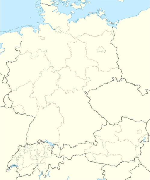
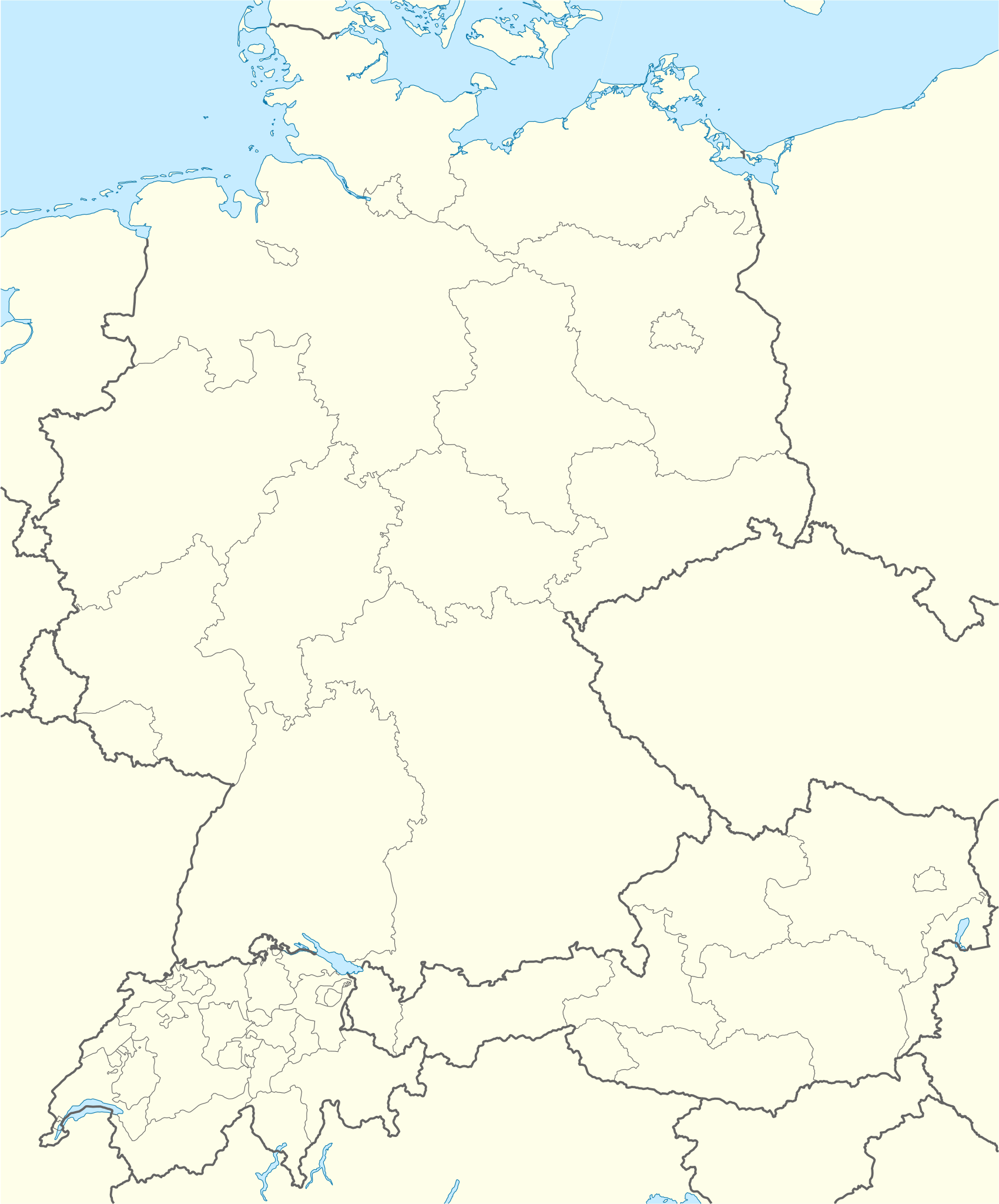
ملف:D-A-CH location map.svg

حجم معاينة PNG لذلك الملف ذي الامتداد SVG: 498 × 600 بكسل. البعد الآخر: 1٬700 × 2٬048 بكسل.
الملف الأصلي (ملف SVG، أبعاده 1٬257 × 1٬514 بكسل، حجم الملف: 586 كيلوبايت)
| ⧼wm-license-information-description⧽ |
Deutsch: Positionskarte der D-A-CH-Länder
Quadratische Plattkarte, N-S-Streckung 150 %. Geographische Begrenzung der Karte:
English: Location map of German-speaking Europe (D-A-CH)
Equirectangular projection, N/S stretching 150 %. Geographic limits of the map:
|
| ⧼wm-license-information-date⧽ | 2009 |
| ⧼wm-license-information-source⧽ | own work, using United States National Imagery and Mapping Agency data |
| ⧼wm-license-information-author⧽ | NordNordWest |
| ⧼wm-license-information-other-versions⧽ |
ترخيص
|

تاريخ الملف
اضغط على زمن/تاريخ لرؤية الملف كما بدا في هذا الزمن.
| زمن/تاريخ | صورة مصغرة | الأبعاد | مستخدم | تعليق | |
|---|---|---|---|---|---|
| حالي | ★ مراجعة معتمدة 06:37، 4 ديسمبر 2023 | | 1٬257 × 1٬514 (586 كيلوبايت) | Pastakhov (نقاش | مساهمات) | Upload https://upload.wikimedia.org/wikipedia/commons/2/29/D-A-CH_location_map.svg |
لا يمكنك استبدال هذا الملف.
وصلات
الصفحات التالية تحتوي على وصلة لهذه الصورة: