ملف:Cranham viewed from the east - geograph.org.uk - 671280.jpg
لا توجد دقة أعلى متوفرة.
Cranham_viewed_from_the_east_-_geograph.org.uk_-_671280.jpg (640 × 426 بكسل حجم الملف: 78 كيلوبايت، نوع MIME: image/jpeg)
وصف قصير
| ⧼wm-license-information-description⧽ |
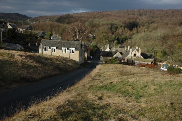
English: Cranham viewed from the east Part of the village of Cranham viewed from the Common to the east of the village. Buckholt Wood can be seen in the background.
|
| ⧼wm-license-information-date⧽ | 2008 |
| ⧼wm-license-information-source⧽ | From geograph.org.uk |
| ⧼wm-license-information-author⧽ | Philip Halling |
| ⧼wm-license-cc-attribution⧽ (قالب:I18n/Credit line) |
Philip Halling / Cranham viewed from the east / |
51°48′53″N 2°08′52″W / 51.81468°N 2.1477°W قالب:Object location
_heading:292)
ترخيص
تاريخ الملف
اضغط على زمن/تاريخ لرؤية الملف كما بدا في هذا الزمن.
| زمن/تاريخ | صورة مصغرة | الأبعاد | مستخدم | تعليق | |
|---|---|---|---|---|---|
| حالي | ★ مراجعة معتمدة 20:53، 7 أكتوبر 2023 | | 640 × 426 (78 كيلوبايت) | Pastakhov (نقاش | مساهمات) | Upload https://upload.wikimedia.org/wikipedia/commons/6/68/Cranham_viewed_from_the_east_-_geograph.org.uk_-_671280.jpg |
لا يمكنك استبدال هذا الملف.
وصلات
لا يوجد صفحات تصل لهذه الصورة.