ملف:Coyote Creek aerial.jpg
حجم هذه المعاينة: 431 × 600 بكسل. البعد الآخر: 1٬512 × 2٬104 بكسل.
الملف الأصلي (1٬512 × 2٬104 بكسل حجم الملف: 619 كيلوبايت، نوع MIME: image/jpeg)
وصف قصير
| ⧼wm-license-information-description⧽ |
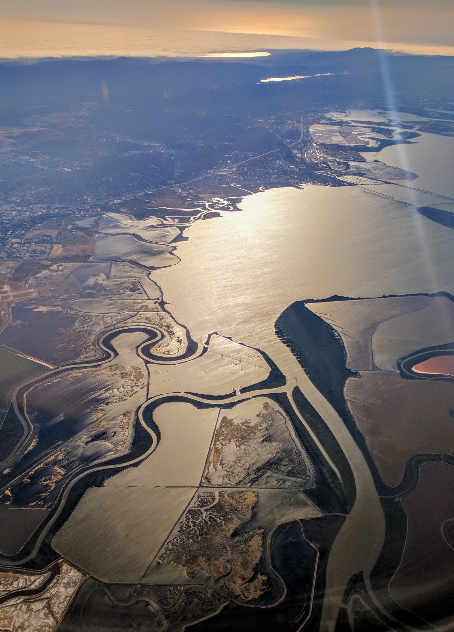
English: Coyote Creek where it flows into the south San Franciso Bay, with the Guadalupe River joining it, and the Guadalupe Slough entering just to the west (left).
|
| ⧼wm-license-information-date⧽ | 2017, {{time}} – invalid date format 02 (help) |
| ⧼wm-license-information-source⧽ | ⧼Wm-license-own-work⧽ |
| ⧼wm-license-information-author⧽ | Dicklyon |
37°18′22″N 121°49′24″W / 37.306242°N 121.823253°W
ترخيص
|
تاريخ الملف
اضغط على زمن/تاريخ لرؤية الملف كما بدا في هذا الزمن.
| زمن/تاريخ | صورة مصغرة | الأبعاد | مستخدم | تعليق | |
|---|---|---|---|---|---|
| حالي | ★ مراجعة معتمدة 20:30، 10 أكتوبر 2023 | | 1٬512 × 2٬104 (619 كيلوبايت) | Pastakhov (نقاش | مساهمات) | Upload https://upload.wikimedia.org/wikipedia/commons/b/bd/Coyote_Creek_aerial.jpg |
لا يمكنك استبدال هذا الملف.
وصلات
لا يوجد صفحات تصل لهذه الصورة.