ملف:Clashnessie Bay - geograph.org.uk - 117898.jpg
لا توجد دقة أعلى متوفرة.
Clashnessie_Bay_-_geograph.org.uk_-_117898.jpg (640 × 481 بكسل حجم الملف: 113 كيلوبايت، نوع MIME: image/jpeg)
وصف قصير
| ⧼wm-license-information-description⧽ |
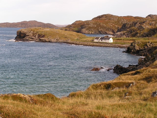
English: Clashnessie Bay. The map has the name Imirfada, though I must confess that I'm not sure if this is for the dwelling or the slight jutting headland that it is on.
|
| ⧼wm-license-information-date⧽ | 2004 |
| ⧼wm-license-information-source⧽ | From geograph.org.uk |
| ⧼wm-license-information-author⧽ | Stuart Wilding |
| ⧼wm-license-cc-attribution⧽ (قالب:I18n/Credit line) |
Stuart Wilding / Clashnessie Bay / |
58°13′31″N 5°18′22″W / 58.2253°N 5.306°W قالب:Object location
)
ترخيص
تاريخ الملف
اضغط على زمن/تاريخ لرؤية الملف كما بدا في هذا الزمن.
| زمن/تاريخ | صورة مصغرة | الأبعاد | مستخدم | تعليق | |
|---|---|---|---|---|---|
| حالي | ★ مراجعة معتمدة 17:25، 25 أكتوبر 2023 | | 640 × 481 (113 كيلوبايت) | Pastakhov (نقاش | مساهمات) | Upload https://upload.wikimedia.org/wikipedia/commons/1/10/Clashnessie_Bay_-_geograph.org.uk_-_117898.jpg |
لا يمكنك استبدال هذا الملف.
وصلات
لا يوجد صفحات تصل لهذه الصورة.