ملف:Churta.PNG
حجم هذه المعاينة: 662 × 599 بكسل. البعد الآخر: 1٬000 × 905 بكسل.
الملف الأصلي (1٬000 × 905 بكسل حجم الملف: 162 كيلوبايت، نوع MIME: image/png)
| ⧼wm-license-information-description⧽ |
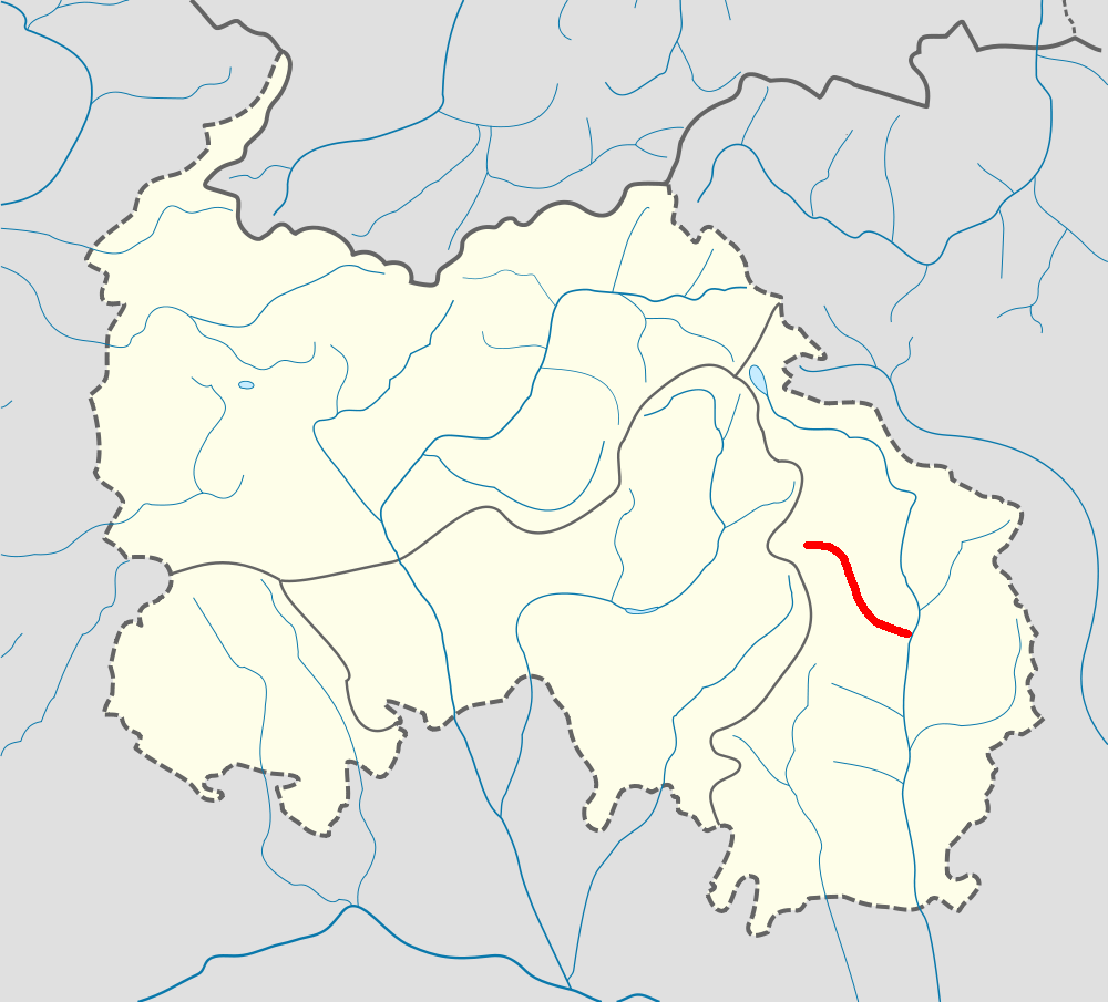
English: Churta River
|
| ⧼wm-license-information-date⧽ | 2009-12-29 10:47 (UTC) |
| ⧼wm-license-information-source⧽ | |
| ⧼wm-license-information-author⧽ |
|
| [This is a retouched picture, which means that it has been digitally altered from its original version. Modifications: highlighted river. The original can be viewed here: South_Ossetia_location_map.svg. Modifications made by Taamu.] Error: {{Lang}}: text has italic markup (help)
|
|

قالب:Original upload log
This image is a derivative work of the following images:
- File:South_Ossetia_location_map.svg licensed with Cc-by-sa-3.0, GFDL
- 2009-11-28T12:58:15Z Soslanx 1006x910 (74703 Bytes) river fixed
- 2009-11-26T17:31:27Z Soslanx 1006x910 (74780 Bytes) borders, neutrality and rivers fixed. see [[ru:Обсуждение шаблона:ПозКарта Южная Осетия]]
- 2009-11-26T15:19:30Z Soslanx 1000x910 (34304 Bytes) liakhva added
- 2009-11-25T20:06:35Z Soslanx 1000x910 (31942 Bytes) border fixed, rivers off
- 2009-11-24T17:00:45Z Soslanx 1000x910 (68678 Bytes) rivers on
- 2009-11-22T11:01:31Z Soslanx 1000x910 (26829 Bytes) {{Information |Description={{en|1=Location map of South Ossetia}} |Source={{own}} |Author=[[User:Soslanx|Soslanx]] |Date=2009-11-22 |Permission= |other_versions=File:RSOLocatorMap.png }} [[Category:South Ossetia]]
تاريخ الملف
اضغط على زمن/تاريخ لرؤية الملف كما بدا في هذا الزمن.
| زمن/تاريخ | صورة مصغرة | الأبعاد | مستخدم | تعليق | |
|---|---|---|---|---|---|
| حالي | ★ مراجعة معتمدة 23:59، 28 نوفمبر 2023 | | 1٬000 × 905 (162 كيلوبايت) | Pastakhov (نقاش | مساهمات) | Upload https://upload.wikimedia.org/wikipedia/commons/3/34/Churta.PNG |
لا يمكنك استبدال هذا الملف.
وصلات
لا يوجد صفحات تصل لهذه الصورة.