ملف:Church Hill Road - geograph.org.uk - 1728832.jpg
حجم هذه المعاينة: 800 × 534 بكسل. البعد الآخر: 1٬600 × 1٬067 بكسل.
الملف الأصلي (1٬600 × 1٬067 بكسل حجم الملف: 500 كيلوبايت، نوع MIME: image/jpeg)
وصف قصير
| ⧼wm-license-information-description⧽ |
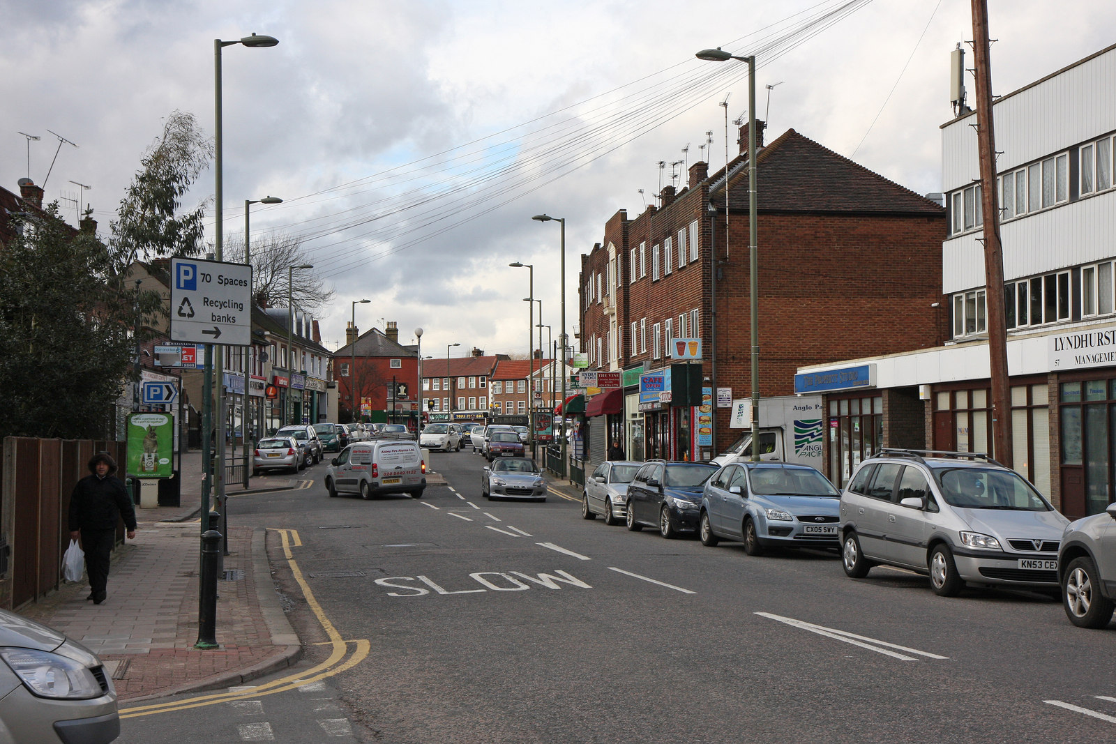
English: Church Hill Road Looking into the shopping area from the junction with Capel Road. In the distance, the shops at the junction with Barnet Road can be seen.
|
| ⧼wm-license-information-date⧽ | 2010 |
| ⧼wm-license-information-source⧽ | From geograph.org.uk |
| ⧼wm-license-information-author⧽ | Martin Addison |
| ⧼wm-license-cc-attribution⧽ (قالب:I18n/Credit line) |
Martin Addison / Church Hill Road / |
51°38′27″N 0°09′45″W / 51.64090°N 0.1624°W قالب:Object location
_heading:0)
ترخيص
تاريخ الملف
اضغط على زمن/تاريخ لرؤية الملف كما بدا في هذا الزمن.
| زمن/تاريخ | صورة مصغرة | الأبعاد | مستخدم | تعليق | |
|---|---|---|---|---|---|
| حالي | ★ مراجعة معتمدة 04:39، 26 يناير 2024 | | 1٬600 × 1٬067 (500 كيلوبايت) | Pastakhov (نقاش | مساهمات) | Upload https://upload.wikimedia.org/wikipedia/commons/3/3b/Church_Hill_Road_-_geograph.org.uk_-_1728832.jpg |
لا يمكنك استبدال هذا الملف.
وصلات
لا يوجد صفحات تصل لهذه الصورة.