ملف:Central Valley STS040-609-38.jpg
حجم هذه المعاينة: 609 × 600 بكسل. البعدان الآخران: 2٬080 × 2٬048 بكسل | 3٬928 × 3٬867 بكسل.
الملف الأصلي (3٬928 × 3٬867 بكسل حجم الملف: 4٫64 ميجابايت، نوع MIME: image/jpeg)
وصف قصير
Fonte
Earth.Johnson Space Center.National Aeronautic and Space Administration.government/Space Shuttle Earth Observations Photography/Earth From Space/low resolution.Central Valley Archive copy at the Internet Archive
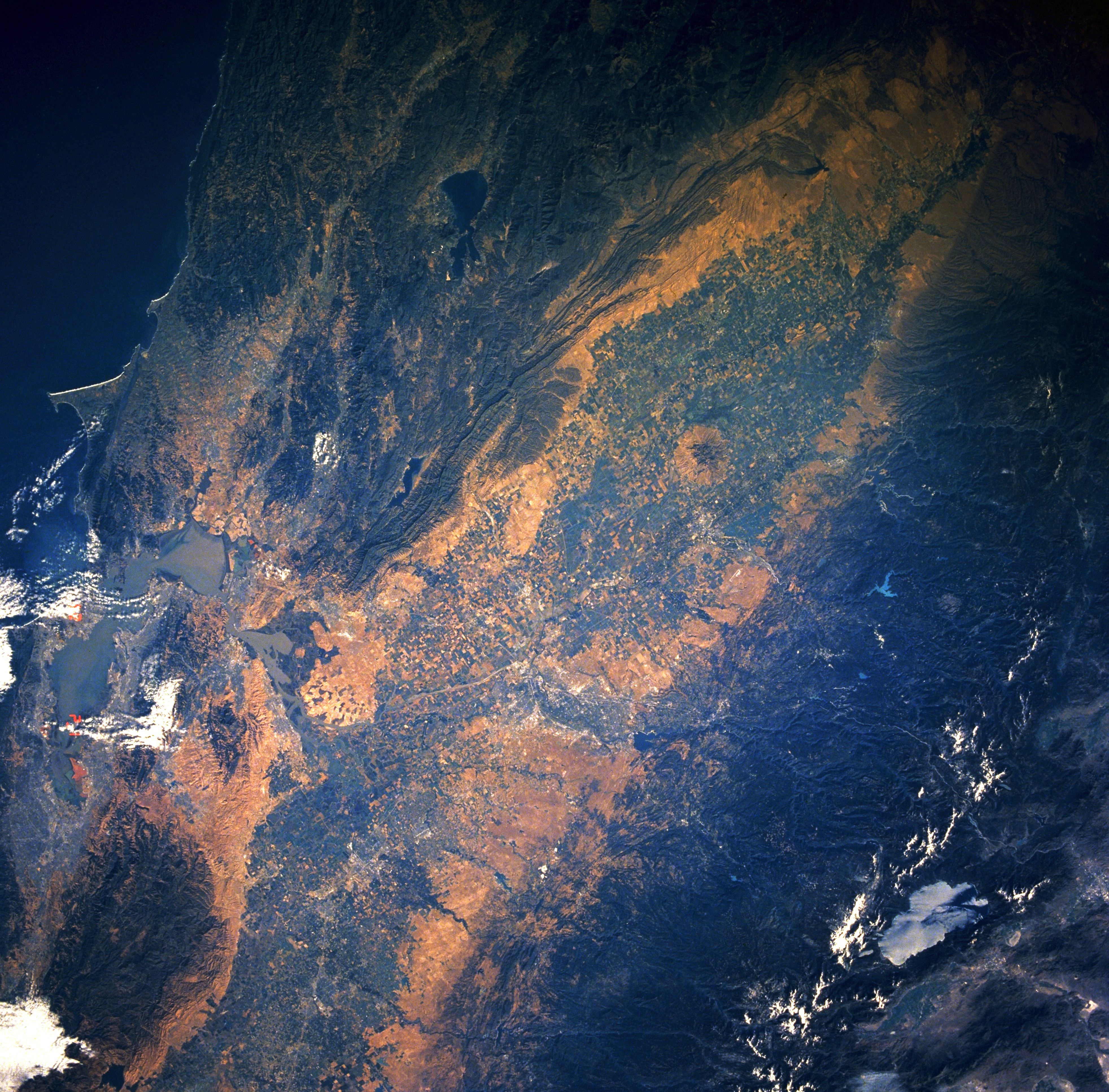
View from Space Shuttle Columbia, mission STS-040, June 1991.
Central Valley, California, June 1991
This low-oblique, southeast-looking, synoptic photograph captures the great Central Valley of California.
- Composed of the Sacramento Valley to the north and the San Joaquin Valley (not pictured in this image) to the south, the Central Valley of California is one of the richest agricultural areas in the United States.
- Visible to the east are the forested slopes and snow-covered higher peaks of the Sierra Nevada Mountains and light blue Lake Tahoe. West of the Central Valley, the Coast Range traverses north-south, and the San Francisco Bay Area is discernible among scattered clouds.
Content Provider
Kamlesh P. Lulla Ph.D. Chief, Earth Sciences Branch
Responsible NASA Official: Ed Wilson
Curator: Jaime Powell
Last Update: 06/17/2002
قالب:NASA-image
ترخيص
تاريخ الملف
اضغط على زمن/تاريخ لرؤية الملف كما بدا في هذا الزمن.
| زمن/تاريخ | صورة مصغرة | الأبعاد | مستخدم | تعليق | |
|---|---|---|---|---|---|
| حالي | ★ مراجعة معتمدة 02:26، 30 أكتوبر 2023 | | 3٬928 × 3٬867 (4٫64 ميجابايت) | Pastakhov (نقاش | مساهمات) | Upload https://upload.wikimedia.org/wikipedia/commons/8/8c/Central_Valley_STS040-609-38.jpg |
لا يمكنك استبدال هذا الملف.
وصلات
لا يوجد صفحات تصل لهذه الصورة.