ملف:Casselman River Maryland.jpg
حجم هذه المعاينة: 697 × 600 بكسل. البعد الآخر: 2٬490 × 2٬142 بكسل.
الملف الأصلي (2٬490 × 2٬142 بكسل حجم الملف: 2 ميجابايت، نوع MIME: image/jpeg)
| ⧼wm-license-information-description⧽ |
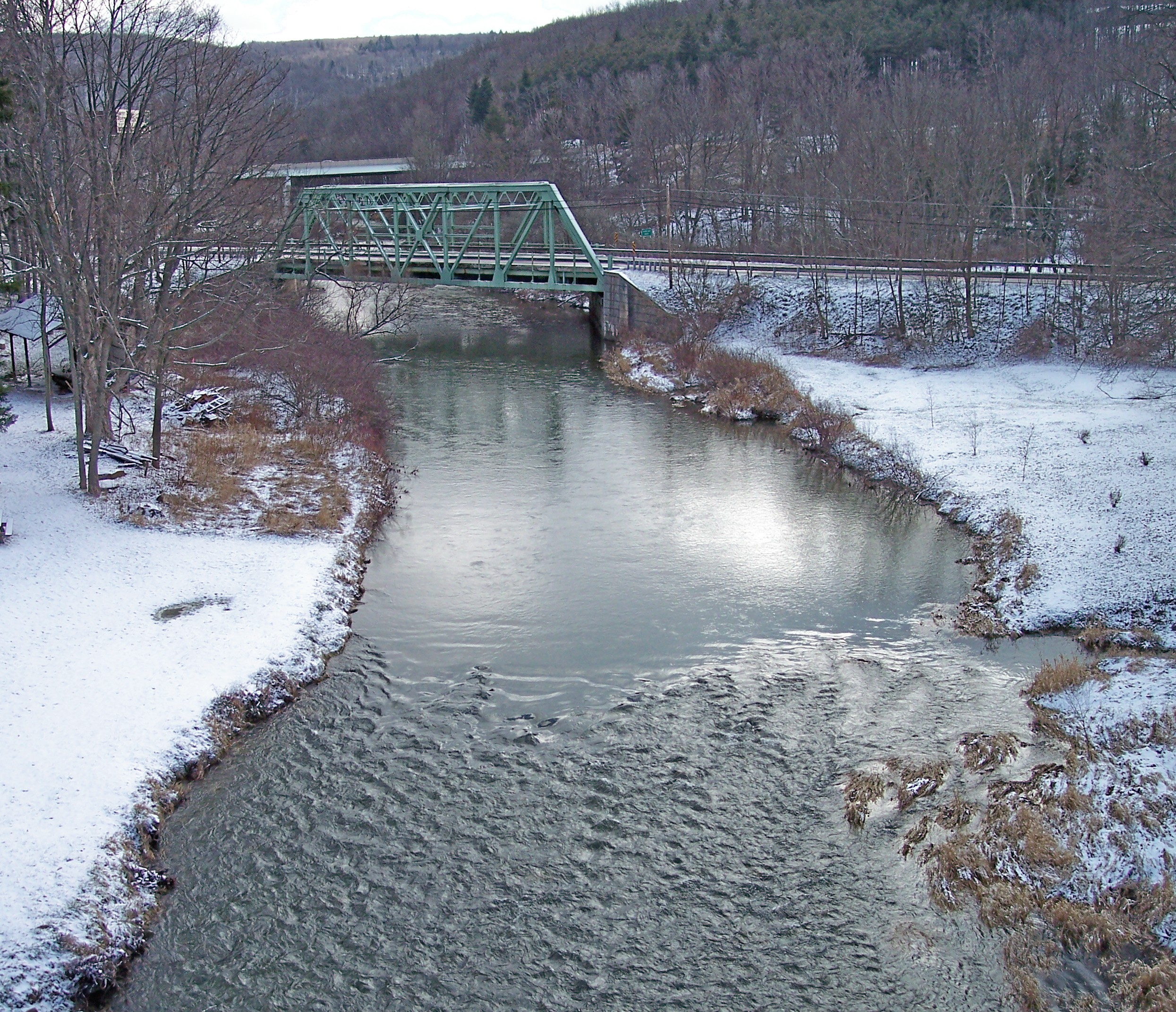
English: The Casselman River as viewed upstream from Casselman River Bridge State Park near Grantsville, Maryland. The bridge carries the National Pike (Alternate U.S. Route 40). Interstate 68 is visible in the distance.
|
| ⧼wm-license-information-date⧽ | 2006 |
| ⧼wm-license-information-source⧽ | ⧼Wm-license-own-work⧽ |
| ⧼wm-license-information-author⧽ | Tim Kiser (w:User:Malepheasant) |
تاريخ الملف
اضغط على زمن/تاريخ لرؤية الملف كما بدا في هذا الزمن.
| زمن/تاريخ | صورة مصغرة | الأبعاد | مستخدم | تعليق | |
|---|---|---|---|---|---|
| حالي | ★ مراجعة معتمدة 09:51، 22 أكتوبر 2023 | | 2٬490 × 2٬142 (2 ميجابايت) | Pastakhov (نقاش | مساهمات) | Upload https://upload.wikimedia.org/wikipedia/commons/b/b6/Casselman_River_Maryland.jpg |
لا يمكنك استبدال هذا الملف.
وصلات
لا يوجد صفحات تصل لهذه الصورة.