ملف:Calamian Group locator map.PNG
حجم هذه المعاينة: 384 × 599 بكسل. البعد الآخر: 2٬000 × 3٬120 بكسل.
الملف الأصلي (2٬000 × 3٬120 بكسل حجم الملف: 196 كيلوبايت، نوع MIME: image/png)
وصف قصير
| ⧼wm-license-information-description⧽ |
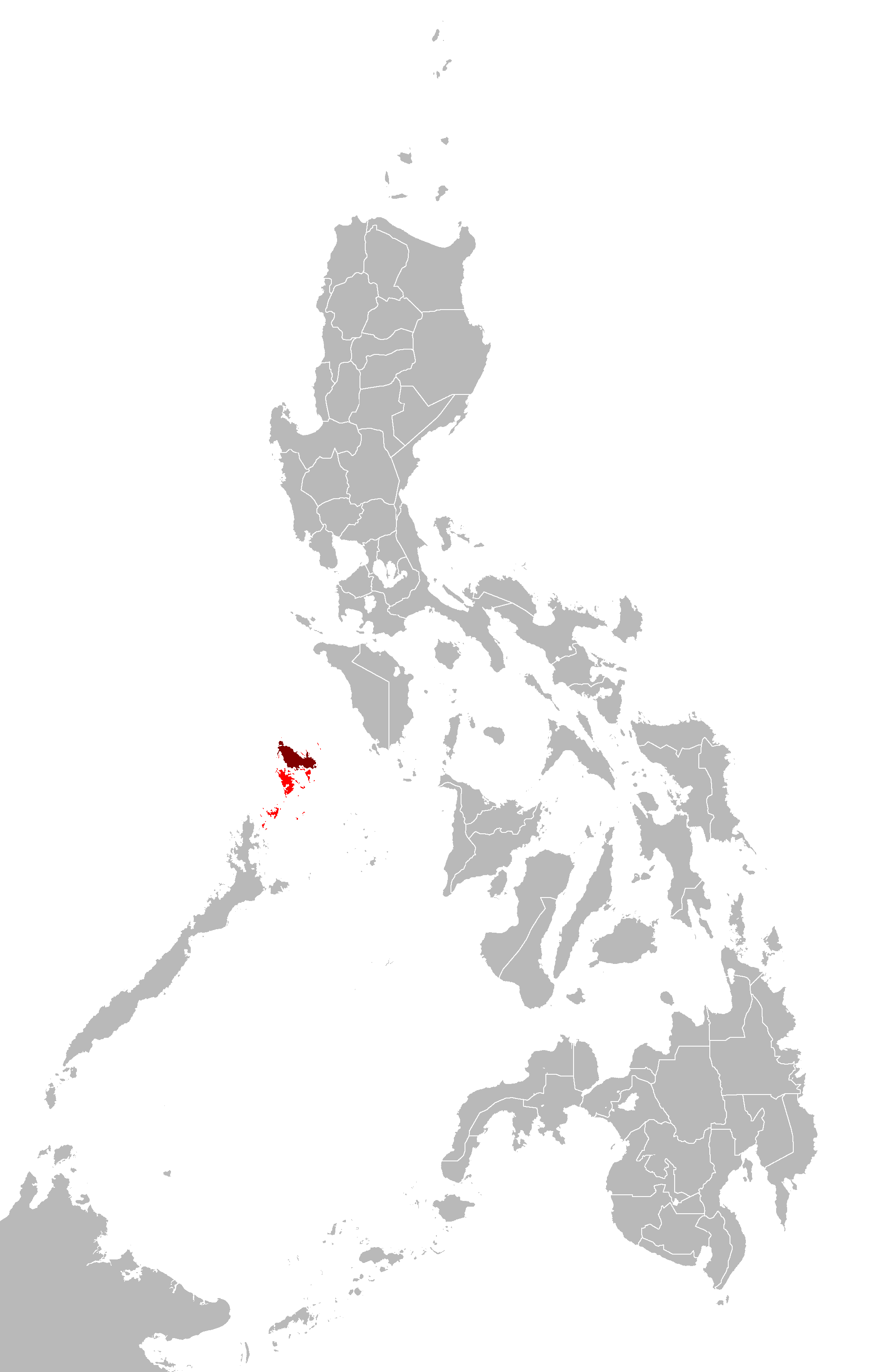
Map of the Philippines showing the location of the Calamian Islands. |
| ⧼wm-license-information-date⧽ | قالب:Original upload date |
| ⧼wm-license-information-source⧽ | قالب:Transferred from |
| ⧼wm-license-information-author⧽ | قالب:User at project |
| ⧼wm-license-information-permission⧽ (⧼wm-license-information-permission-reusing-text⧽) |
CC-LAYOUT; CC-BY-SA-2.5,2.0,1.0; Released under the GNU Free Documentation License. |
ترخيص
|

قالب:Original upload log
قالب:Original description page
- 2007-03-31 02:31 Howard the Duck 2000×3120×8 (201149 bytes) Map of the [[Philippines]] showing the location of the [[Calamian Group]].
تاريخ الملف
اضغط على زمن/تاريخ لرؤية الملف كما بدا في هذا الزمن.
| زمن/تاريخ | صورة مصغرة | الأبعاد | مستخدم | تعليق | |
|---|---|---|---|---|---|
| حالي | ★ مراجعة معتمدة 17:56، 6 أكتوبر 2023 | | 2٬000 × 3٬120 (196 كيلوبايت) | Pastakhov (نقاش | مساهمات) | Upload https://upload.wikimedia.org/wikipedia/commons/4/40/Calamian_Group_locator_map.PNG |
لا يمكنك استبدال هذا الملف.
وصلات
لا يوجد صفحات تصل لهذه الصورة.