ملف:Calamian Group locator map-2.PNG
حجم هذه المعاينة: 384 × 599 بكسل. البعد الآخر: 2٬000 × 3٬120 بكسل.
الملف الأصلي (2٬000 × 3٬120 بكسل حجم الملف: 201 كيلوبايت، نوع MIME: image/png)
| ⧼wm-license-information-description⧽ |
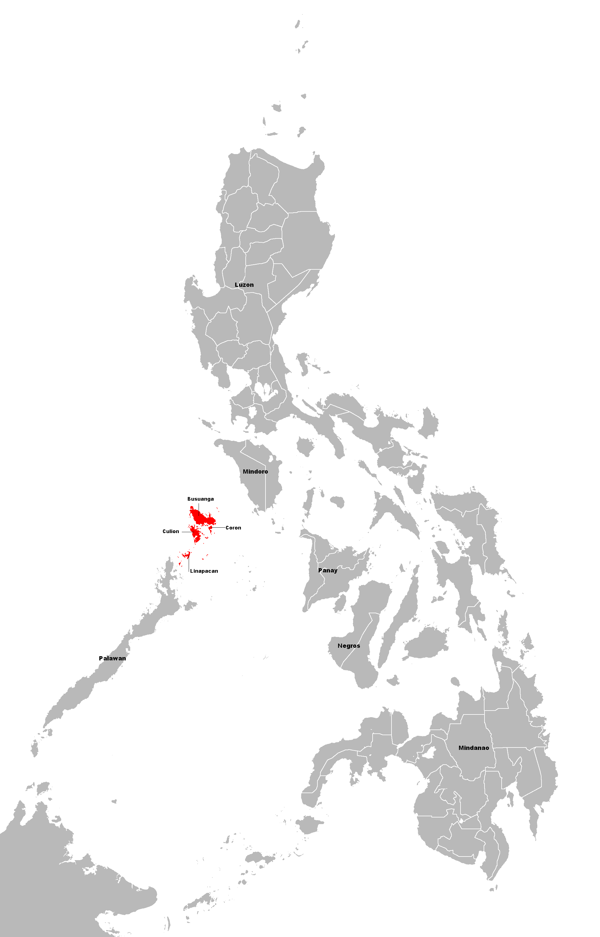
Map of the Philippines showing the location of the Calamian Islands with islands name |
| ⧼wm-license-information-date⧽ | 2009-09-03 17:30 (UTC) |
| ⧼wm-license-information-source⧽ | |
| ⧼wm-license-information-author⧽ |
|
| [This is a retouched picture, which means that it has been digitally altered from its original version. The original can be viewed here: Calamian_Group_locator_map.PNG.] Error: {{Lang}}: text has italic markup (help)
|
|

قالب:Original upload log
This image is a derivative work of the following images:
- File:Calamian_Group_locator_map.PNG licensed with Cc-by-sa-2.5,2.0,1.0, Cc-by-sa-3.0-migrated, GFDL
- 2007-09-07T16:08:05Z Ark 384x599 (57811 Bytes) {{Information |Description=Map of the [[:en:Philippines]] showing the location of the [[:en:Calamian Group]]. |Source=Originally from [http://en.wikipedia.org en.wikipedia]; description page is/was [http://en.wikipedia.org/w/
تاريخ الملف
اضغط على زمن/تاريخ لرؤية الملف كما بدا في هذا الزمن.
| زمن/تاريخ | صورة مصغرة | الأبعاد | مستخدم | تعليق | |
|---|---|---|---|---|---|
| حالي | ★ مراجعة معتمدة 20:35، 1 نوفمبر 2023 | | 2٬000 × 3٬120 (201 كيلوبايت) | Pastakhov (نقاش | مساهمات) | Upload https://upload.wikimedia.org/wikipedia/commons/a/a1/Calamian_Group_locator_map-2.PNG |
لا يمكنك استبدال هذا الملف.
وصلات
لا يوجد صفحات تصل لهذه الصورة.