ملف:Brigg Station - geograph.org.uk - 794191.jpg
Brigg_Station_-_geograph.org.uk_-_794191.jpg (640 × 478 بكسل حجم الملف: 91 كيلوبايت، نوع MIME: image/jpeg)
وصف قصير
| ⧼wm-license-information-description⧽ |
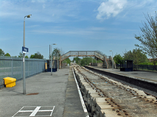
English: Brigg Station The stacked sleepers are probably awaiting use as part of the current upgrading of this line.
"A joint programme to increase rail capacity for the carriage of seaborne freight from Hull Docks has been announced by Associated British Ports and Network Rail. Infrastructure on the docks branch line is to be improved to raise capacity from 10 to 22 trains in each direction per day, and on the Brigg line, south of the Humber, works will allow the movement of regular scheduled freight, mostly coal to the Cottam and West Burton power stations. The latter will be a shorter route than presently used, and with no bottleneck at Doncaster.." Modern Railways, vol.64, no.703. April 2007. p.16. |
| ⧼wm-license-information-date⧽ | 2008 |
| ⧼wm-license-information-source⧽ | From geograph.org.uk |
| ⧼wm-license-information-author⧽ | David Wright |
| ⧼wm-license-cc-attribution⧽ (قالب:I18n/Credit line) |
David Wright / Brigg Station / |
53°32′56″N 0°29′11″W / 53.54883°N 0.4864°W قالب:Object location
_heading:67)
ترخيص
تاريخ الملف
اضغط على زمن/تاريخ لرؤية الملف كما بدا في هذا الزمن.
| زمن/تاريخ | صورة مصغرة | الأبعاد | مستخدم | تعليق | |
|---|---|---|---|---|---|
| حالي | ★ مراجعة معتمدة 16:50، 30 أكتوبر 2023 | | 640 × 478 (91 كيلوبايت) | Pastakhov (نقاش | مساهمات) | Upload https://upload.wikimedia.org/wikipedia/commons/b/b7/Brigg_Station_-_geograph.org.uk_-_794191.jpg |
لا يمكنك استبدال هذا الملف.
وصلات
لا يوجد صفحات تصل لهذه الصورة.