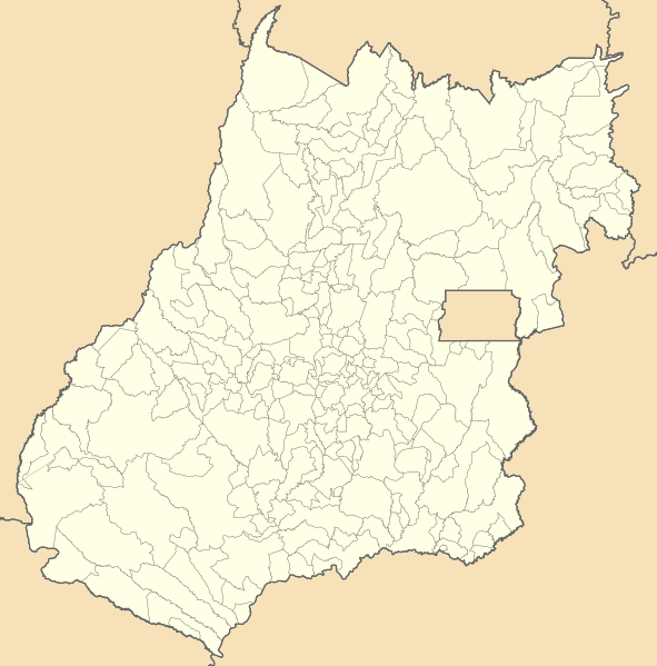
ملف:Brazil Goias location map.svg

حجم معاينة PNG لذلك الملف ذي الامتداد SVG: 591 × 599 بكسل. البعد الآخر: 2٬020 × 2٬048 بكسل.
الملف الأصلي (ملف SVG، أبعاده 710 × 720 بكسل، حجم الملف: 589 كيلوبايت)
| ⧼wm-license-information-description⧽ |
Location map of Goiás state. Equirectangular projection, N/S stretching 104 %. Geographic limits of the map:
|
| ⧼wm-license-information-date⧽ | 2011-08-12 23:59 (UTC) |
| ⧼wm-license-information-source⧽ | |
| ⧼wm-license-information-author⧽ |
|
قالب:Cc-by-sa-3.0-migrated
|

تاريخ الملف
اضغط على زمن/تاريخ لرؤية الملف كما بدا في هذا الزمن.
| زمن/تاريخ | صورة مصغرة | الأبعاد | مستخدم | تعليق | |
|---|---|---|---|---|---|
| حالي | ★ مراجعة معتمدة 00:45، 5 نوفمبر 2023 | | 710 × 720 (589 كيلوبايت) | Pastakhov (نقاش | مساهمات) | Upload https://upload.wikimedia.org/wikipedia/commons/1/16/Brazil_Goias_location_map.svg |
لا يمكنك استبدال هذا الملف.
وصلات
لا يوجد صفحات تصل لهذه الصورة.