ملف:Boundary - geograph.org.uk - 683061.jpg
لا توجد دقة أعلى متوفرة.
Boundary_-_geograph.org.uk_-_683061.jpg (640 × 451 بكسل حجم الملف: 83 كيلوبايت، نوع MIME: image/jpeg)
وصف قصير
| ⧼wm-license-information-description⧽ |
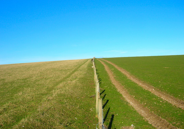
English: Boundary A physical and geographical boundary here, the fence marks the separation of the two fields as well as that of two district councils; Mid Sussex administers the land on the left and Lewes that on right. The footpath from Lower Standean to Keymer Post lies in the realm of MId Sussex.
|
| ⧼wm-license-information-date⧽ | 2008 |
| ⧼wm-license-information-source⧽ | From geograph.org.uk |
| ⧼wm-license-information-author⧽ | Simon Carey |
| ⧼wm-license-cc-attribution⧽ (قالب:I18n/Credit line) |
Simon Carey / Boundary / |
50°53′39″N 0°08′00″W / 50.89430°N 0.1332°W قالب:Object location
_heading:22)
ترخيص
تاريخ الملف
اضغط على زمن/تاريخ لرؤية الملف كما بدا في هذا الزمن.
| زمن/تاريخ | صورة مصغرة | الأبعاد | مستخدم | تعليق | |
|---|---|---|---|---|---|
| حالي | ★ مراجعة معتمدة 05:03، 2 نوفمبر 2023 | | 640 × 451 (83 كيلوبايت) | Pastakhov (نقاش | مساهمات) | Upload https://upload.wikimedia.org/wikipedia/commons/d/d7/Boundary_-_geograph.org.uk_-_683061.jpg |
لا يمكنك استبدال هذا الملف.
وصلات
لا يوجد صفحات تصل لهذه الصورة.