ملف:BidefordBayMap.png
لا توجد دقة أعلى متوفرة.
BidefordBayMap.png (580 × 579 بكسل حجم الملف: 295 كيلوبايت، نوع MIME: image/png)
| ⧼wm-license-information-description⧽ |
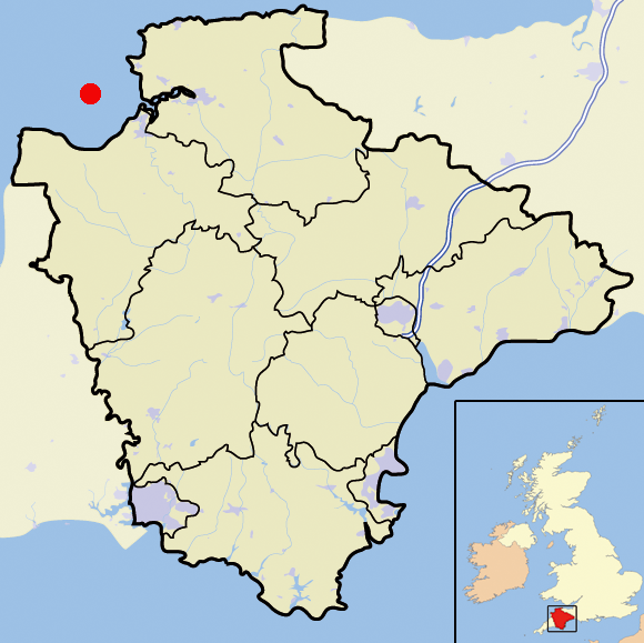
Map of the County of Devon, England, United Kingdom showing Bideford Bay |
| ⧼wm-license-information-date⧽ | 2010-09-22 11:44 (UTC) |
| ⧼wm-license-information-source⧽ | |
| ⧼wm-license-information-author⧽ |
|
قالب:Original upload log
This image is a derivative work of the following images:
- File:Devon_outline_map_with_UK.png licensed with PD-self
- 2007-12-20T18:34:13Z Mahahahaneapneap 580x579 (202566 Bytes) pngcrushed
- 2007-11-18T15:20:26Z Jza84 580x579 (304096 Bytes) {{Information |Description=Map of the County of Devon, England, United Kingdom |Source=self-made |Date=November 2007 |Author= [[User:Jhamez84|Jhamez84]] |Permission=See below |other_versions= }}
تاريخ الملف
اضغط على زمن/تاريخ لرؤية الملف كما بدا في هذا الزمن.
| زمن/تاريخ | صورة مصغرة | الأبعاد | مستخدم | تعليق | |
|---|---|---|---|---|---|
| حالي | ★ مراجعة معتمدة 14:25، 8 نوفمبر 2023 | | 580 × 579 (295 كيلوبايت) | Pastakhov (نقاش | مساهمات) | Upload https://upload.wikimedia.org/wikipedia/commons/0/04/BidefordBayMap.png |
لا يمكنك استبدال هذا الملف.
وصلات
لا يوجد صفحات تصل لهذه الصورة.