ملف:Bethnal Green, Old Nichol Street - geograph.org.uk - 1692310.jpg
حجم هذه المعاينة: 800 × 600 بكسل. البعدان الآخران: 2٬560 × 1٬920 بكسل | 3٬264 × 2٬448 بكسل.
الملف الأصلي (3٬264 × 2٬448 بكسل حجم الملف: 2٫35 ميجابايت، نوع MIME: image/jpeg)
وصف قصير
| ⧼wm-license-information-description⧽ |
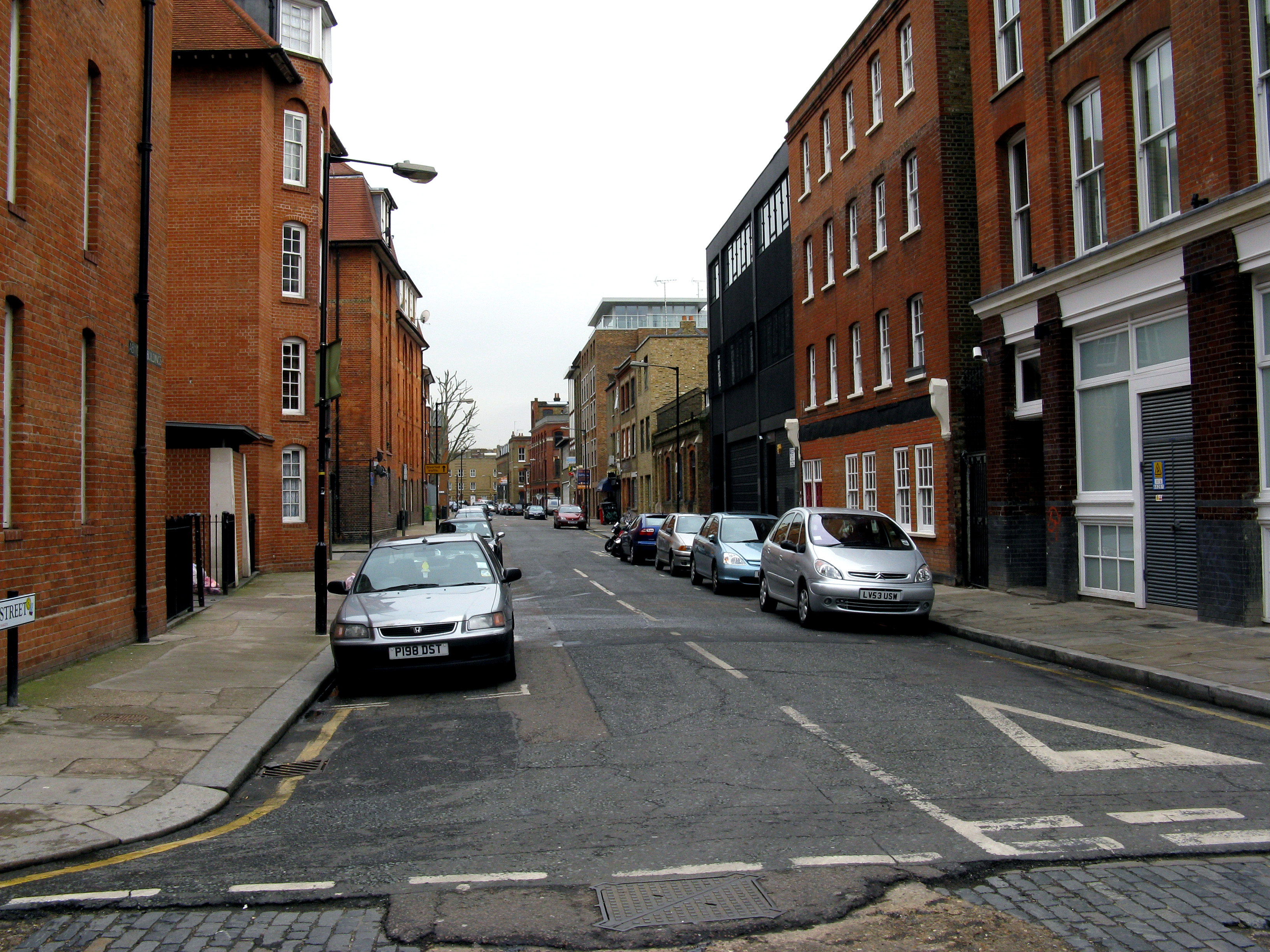
English: Bethnal Green: Old Nichol Street Looking east. The photographer stands in Boundary Street, with the Metropolitan Borough of Shoreditch behind him, and that of Bethnal Green in front. When the notorious Old Nichol rookery was cleared in the 1890s, the whole street pattern and names of the streets were changed, with only two or three streets on the edge retaining their names. Old Nichol Street and Boundary Street are two of these, although the former used to have the possessive, as Old Nichol's Street.
|
| ⧼wm-license-information-date⧽ | 2010 |
| ⧼wm-license-information-source⧽ | From geograph.org.uk |
| ⧼wm-license-information-author⧽ | Dr Neil Clifton |
| ⧼wm-license-cc-attribution⧽ (قالب:I18n/Credit line) |
Dr Neil Clifton / Bethnal Green: Old Nichol Street / |
51°31′30″N 0°04′35″W / 51.52496°N 0.0764°W قالب:Object location
_heading:90)
ترخيص
تاريخ الملف
اضغط على زمن/تاريخ لرؤية الملف كما بدا في هذا الزمن.
| زمن/تاريخ | صورة مصغرة | الأبعاد | مستخدم | تعليق | |
|---|---|---|---|---|---|
| حالي | ★ مراجعة معتمدة 08:41، 16 أكتوبر 2023 | | 3٬264 × 2٬448 (2٫35 ميجابايت) | Pastakhov (نقاش | مساهمات) | Upload https://upload.wikimedia.org/wikipedia/commons/3/37/Bethnal_Green%2C_Old_Nichol_Street_-_geograph.org.uk_-_1692310.jpg |
لا يمكنك استبدال هذا الملف.
وصلات
لا يوجد صفحات تصل لهذه الصورة.