ملف:Bering Strait in its region.svg

حجم معاينة PNG لذلك الملف ذي الامتداد SVG: 500 × 281 بكسل. البعد الآخر: 2٬560 × 1٬439 بكسل.
الملف الأصلي (ملف SVG، أبعاده 500 × 281 بكسل، حجم الملف: 4٫82 ميجابايت)
وصف قصير
| ⧼wm-license-information-description⧽ |
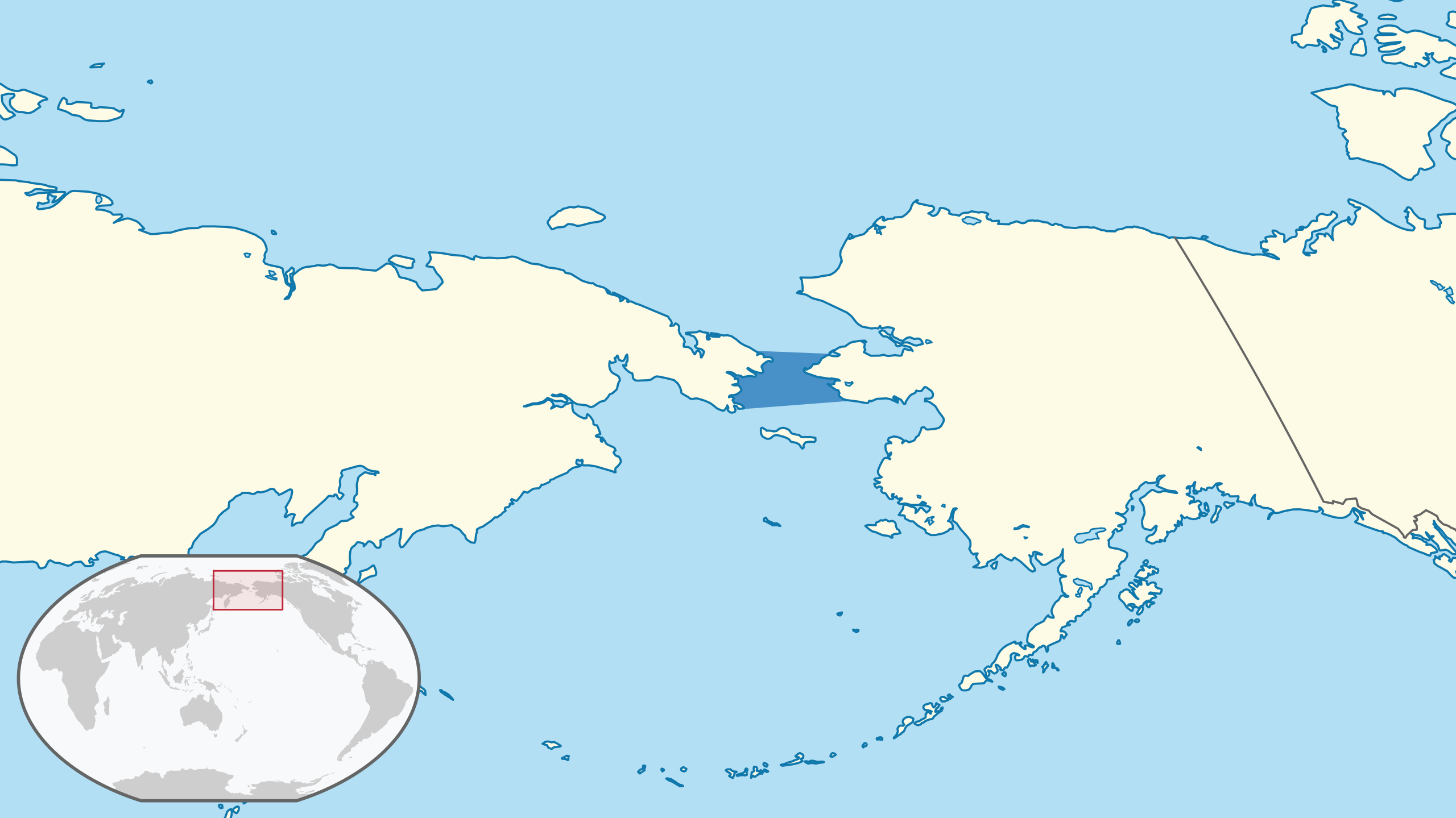
English: Location of the Bering Strait in the region.
The borders of the sea are approximately based on those from the the IHO's "Limits of Oceans and Seas" Draft 4th Edition, 2002. (Winkel III projection centred 150° East and standard parallels at 50°28'.) The map was created using data from Natural Earth, with mapshaper. (Natural Earth Data is in the public domain.) For reproducibility purposes, this was the set of scripts used. The style of the map was generally intended to follow that of the German Locator maps project, except for the highlight colour of the sea, for which there was no apparent convention and for which dark blue (#4790c8) was used. |
| ⧼wm-license-information-date⧽ | 2021 |
| ⧼wm-license-information-source⧽ | ⧼Wm-license-own-work⧽ |
| ⧼wm-license-information-author⧽ | Aplaice |
ترخيص
|
تاريخ الملف
اضغط على زمن/تاريخ لرؤية الملف كما بدا في هذا الزمن.
| زمن/تاريخ | صورة مصغرة | الأبعاد | مستخدم | تعليق | |
|---|---|---|---|---|---|
| حالي | ★ مراجعة معتمدة 22:58، 24 يونيو 2024 | | 500 × 281 (4٫82 ميجابايت) | Pastakhov (نقاش | مساهمات) | Upload https://upload.wikimedia.org/wikipedia/commons/2/2f/Bering_Strait_in_its_region.svg |
لا يمكنك استبدال هذا الملف.
وصلات
لا يوجد صفحات تصل لهذه الصورة.