ملف:Belarus.geohive.png
Belarus.geohive.png (620 × 535 بكسل حجم الملف: 23 كيلوبايت، نوع MIME: image/png)
وصف قصير
| ⧼wm-license-information-description⧽ |
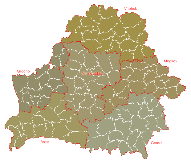
English: Map of Belarus and its districts
|
| ⧼wm-license-information-date⧽ | |
| ⧼wm-license-information-source⧽ | uploaded from http://www.geohive.com (maps are no longer available there) |
| ⧼wm-license-information-author⧽ | Johan van der Heyden |
| ⧼wm-license-information-permission⧽ (⧼wm-license-information-permission-reusing-text⧽) |

|
[All images in this gallery should be recreated using vector graphics as an SVG file. This has several advantages; see Commons:Media for cleanup for more information. If an SVG form of this image is already available, please upload it. After uploading an SVG, replace this template with {{vector version available|new image name.svg}}.] Error: {{Lang}}: text has italic markup (help) |
|
العربية | български | català | čeština | dansk | Deutsch | English | Esperanto | español | français | galego | 한국어 | italiano | magyar | lietuvių | 日本語 | Plattdüütsch | Nederlands | norsk | polski | português | română | русский | suomi | svenska | Türkçe | українська | 中文(繁體) | 中文(简体) | +/− | |
ترخيص
|

قالب:Original upload log
Originally as a gif file at Image:Belarus.geohive.gif.
"(Delete all revisions of this file) (cur) 08:25, 16 February 2006 . . Big Adamsky (Talk) . . 620x535 (21454 bytes)
“Data can be used freely (no guarantees for their accuracy are given, as this usually depends on the source of the data), reference to the site, though, is welcome.” Johan
تاريخ الملف
اضغط على زمن/تاريخ لرؤية الملف كما بدا في هذا الزمن.
| زمن/تاريخ | صورة مصغرة | الأبعاد | مستخدم | تعليق | |
|---|---|---|---|---|---|
| حالي | ★ مراجعة معتمدة 09:04، 6 أكتوبر 2023 | | 620 × 535 (23 كيلوبايت) | Pastakhov (نقاش | مساهمات) | Upload https://upload.wikimedia.org/wikipedia/commons/e/ef/Belarus.geohive.png |
لا يمكنك استبدال هذا الملف.
وصلات
الصفحات التالية تحتوي على وصلة لهذه الصورة: