ملف:Batangasjf2040 16.JPG
حجم هذه المعاينة: 800 × 600 بكسل. البعدان الآخران: 2٬560 × 1٬920 بكسل | 4٬608 × 3٬456 بكسل.
الملف الأصلي (4٬608 × 3٬456 بكسل حجم الملف: 6٫71 ميجابايت، نوع MIME: image/jpeg)
وصف قصير
| ⧼wm-license-information-description⧽ |
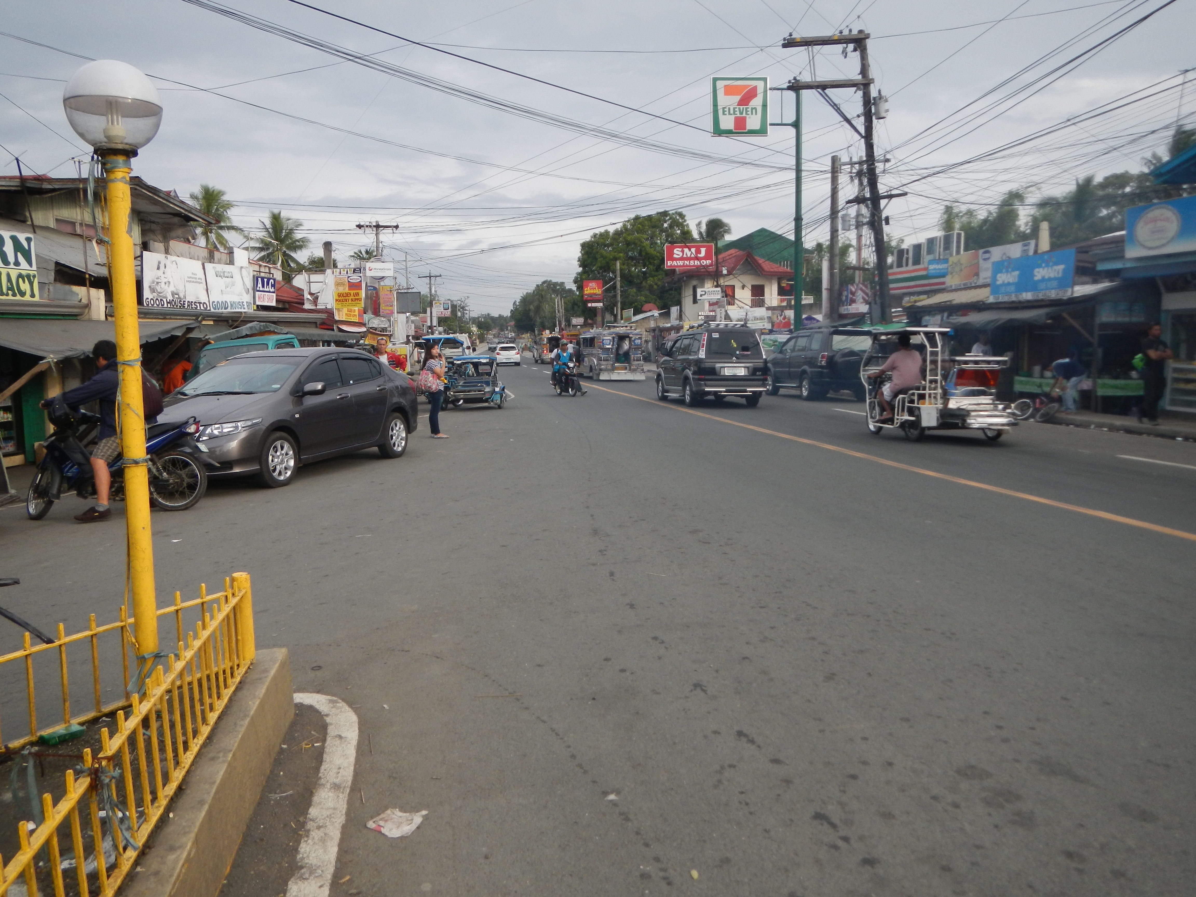
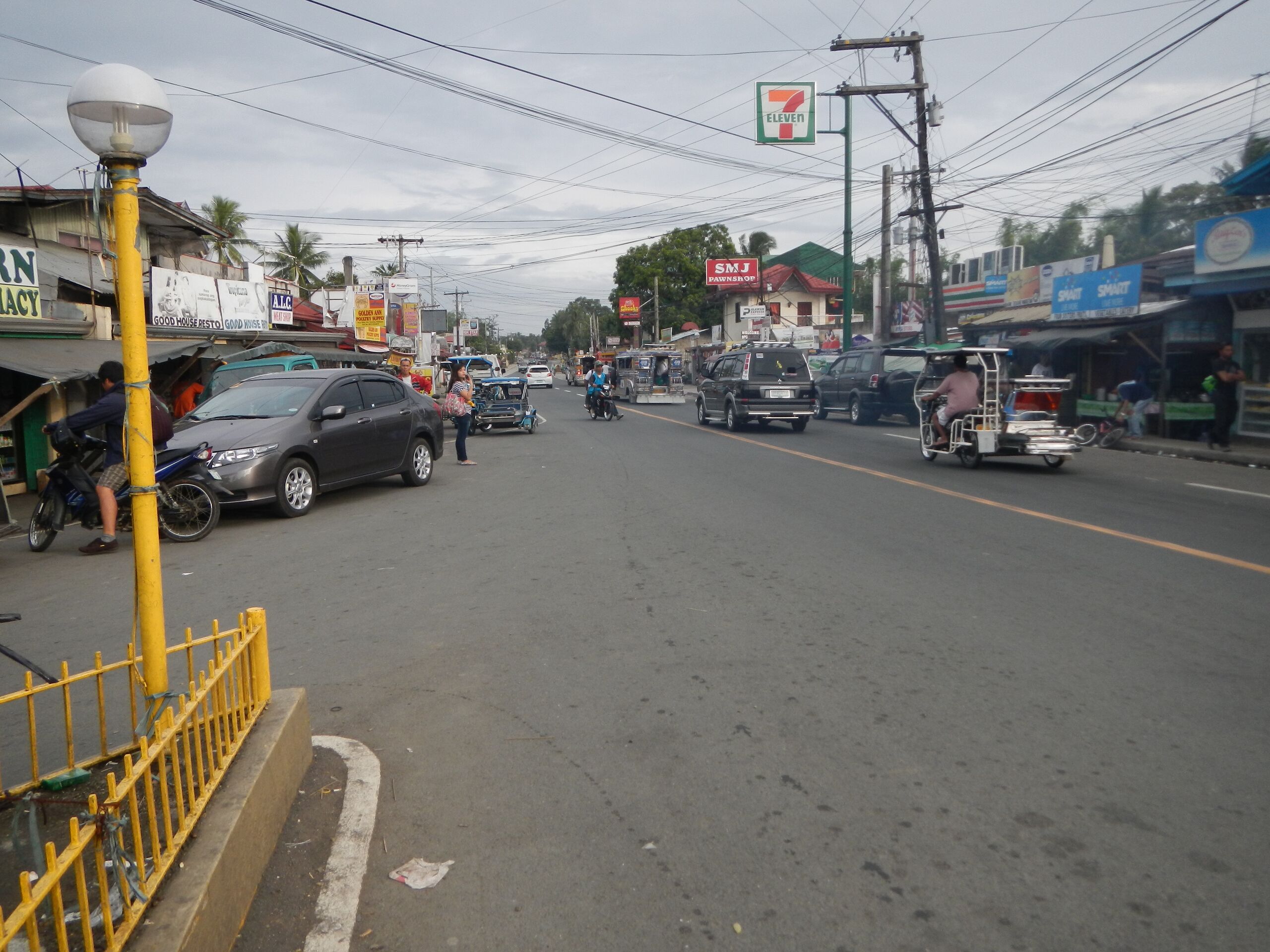
English: Upload Wizard photos of the - Santa Teresita, Batangas[1] (is a fourth class municipality in the province of Batangas, [2] Philippines latest census, population of 16,891 people in 2,762 household); - Santa Teresita Municipal Hall ([3] [4] geographical location: Batangas, Region 4, Philippines, Asia geographical coordinates: 13° 51' 59" North, 120° 58' 53" East) [5] the Old Hall is being destroyed and demolished, and the New Hall is being contructed half-finished, is located in Calayaan; - Coordinates: 13°52'9"N 120°58'18"E; http://wikimapia.org/9852121/santa-teresita-municipal-hall] This Old Town Hall has been contructed in 1994 under Mayor Bayani H. Andal, the Pedestal, Flag Pole under Mayor Darlo B. Ginete, 2002, and the twin Monuments, Busts of Rev. Fr. Dr.Vicente R. Catapang, Founder of the Church, and Town, and Hon. Irineo M. Aquino, founder of the Municipality and Town - Backhoe being used to demolish the Old Town Hall, Highway Boundary, Batangas 1st District Engineering Office Hon. Eileen Ermita Buhain, Welcome to Tawilisan, Taal, Batangas, Welcome to Barangay Cubamba, Taal, Batangas[6].
|
| ⧼wm-license-information-date⧽ | 2013, {{time}} – invalid date format 05 (help) |
| ⧼wm-license-information-source⧽ | ⧼Wm-license-own-work⧽ |
| ⧼wm-license-information-author⧽ | Ramon FVelasquez |
ترخيص
|
تاريخ الملف
اضغط على زمن/تاريخ لرؤية الملف كما بدا في هذا الزمن.
| زمن/تاريخ | صورة مصغرة | الأبعاد | مستخدم | تعليق | |
|---|---|---|---|---|---|
| حالي | ★ مراجعة معتمدة 19:02، 26 ديسمبر 2023 | | 4٬608 × 3٬456 (6٫71 ميجابايت) | Pastakhov (نقاش | مساهمات) | Upload https://upload.wikimedia.org/wikipedia/commons/a/ae/Batangasjf2040_16.JPG |
لا يمكنك استبدال هذا الملف.
وصلات
لا يوجد صفحات تصل لهذه الصورة.